|
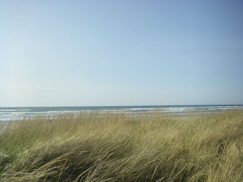
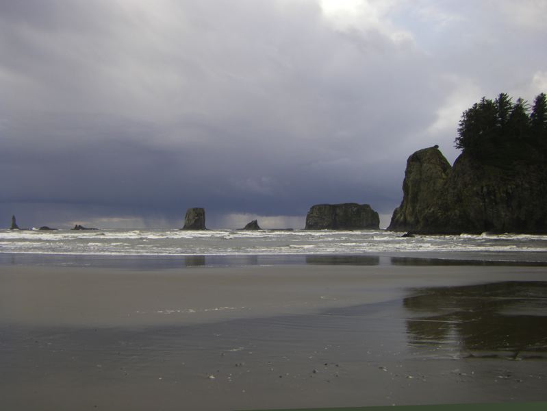
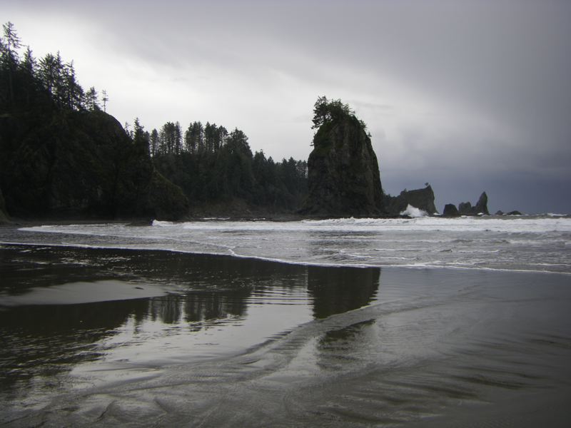
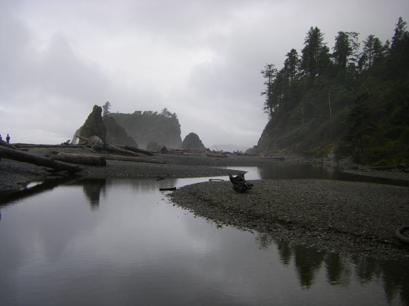
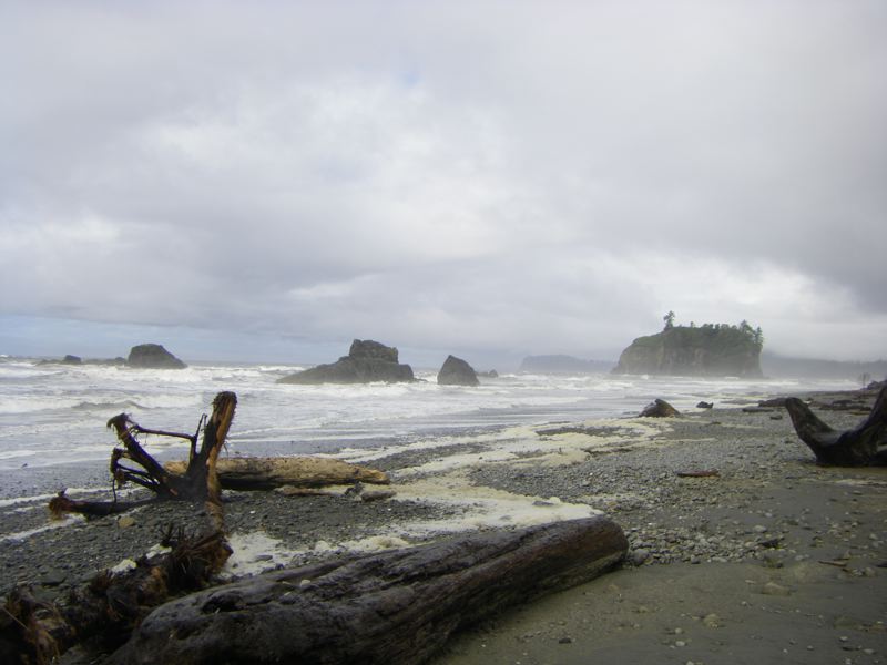
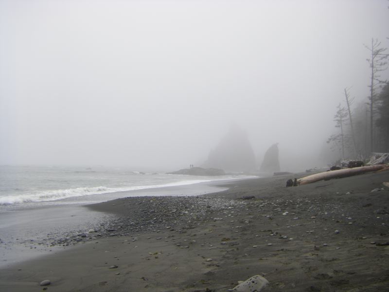
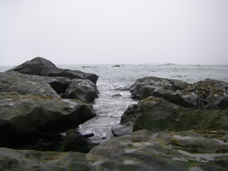
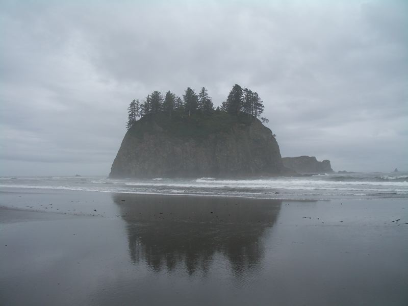
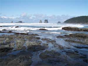
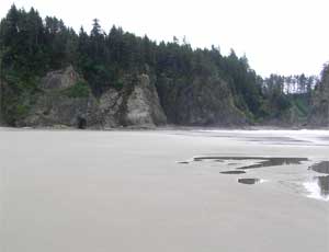
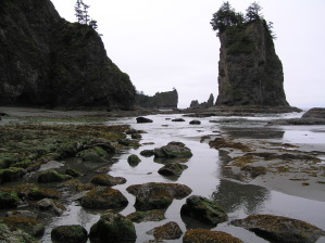
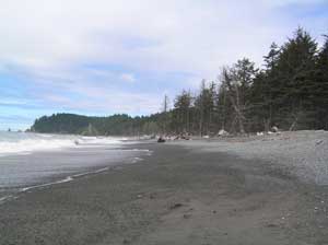
We've been visiting Second Beach for a number of years now, so we've been tantalized by the big seastack that lurks offshore just a bit south of the trailhead inland. Since we usually visit Second Beach at low tide, it often seems as if we could just walk right out to this seastack. Of course, every time we have approached we have found a channel of water blocking us. Sometimes it is fairly wide, but other times we are thwarted by a mere ten feet of choppy water of uncertain depth and current.
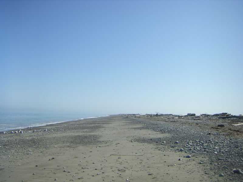
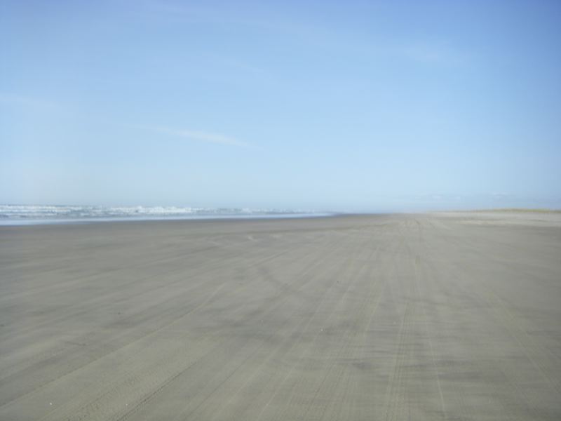
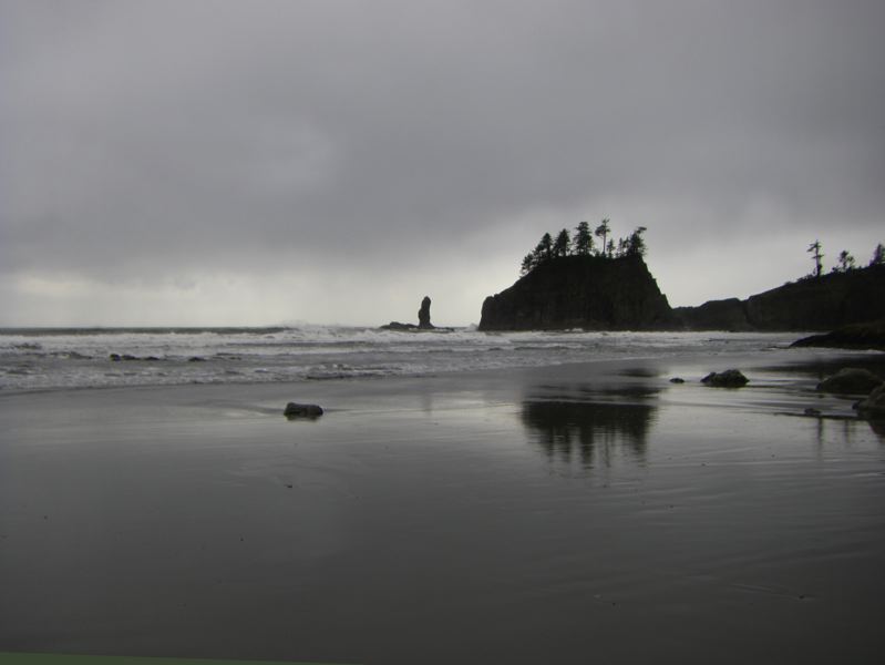
This July 9th was different. This time no confounding body of water appeared as we approached the seastack. Yes, the sand was wet, but we were able to approach the base of the seastack dryshod. The low tide was 0.8 feet, but we had been to Second Beach with lower tides. It took a combination of low tide and sand flow to create the miraculous sandbar we traversed.
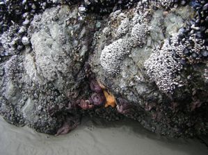
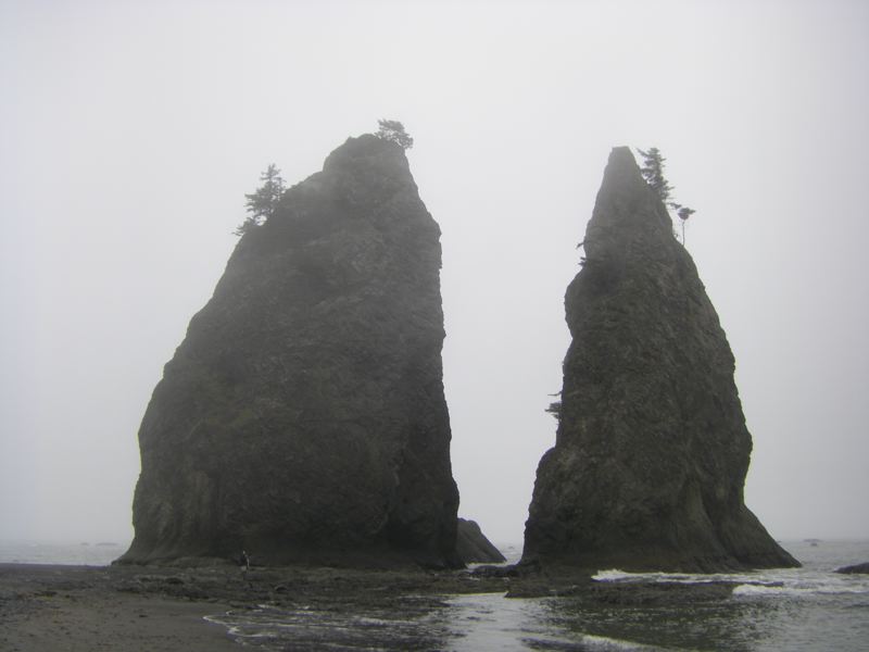
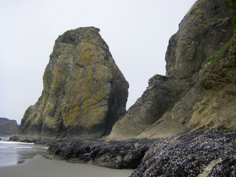
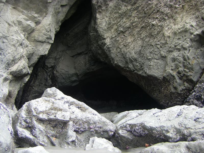
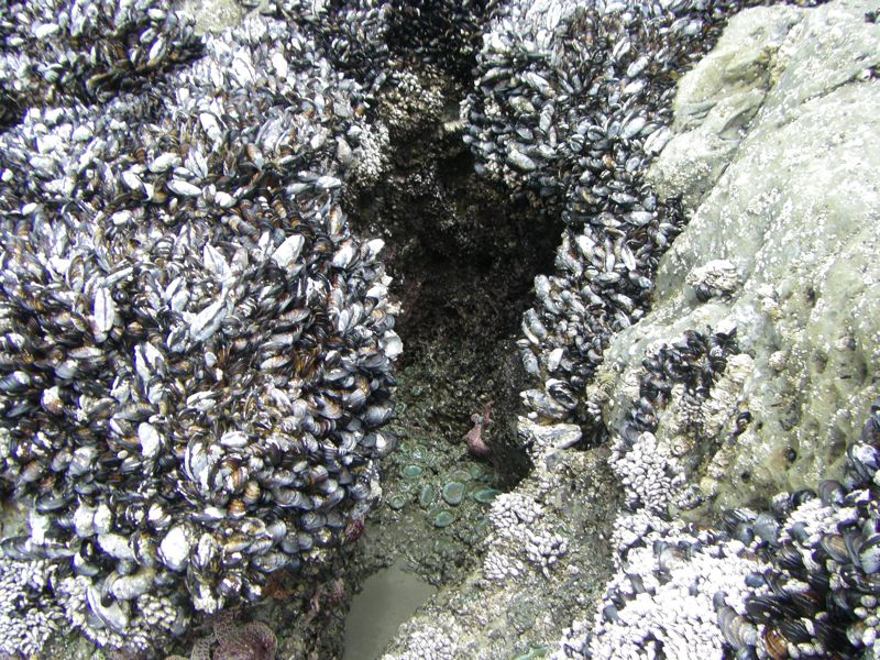
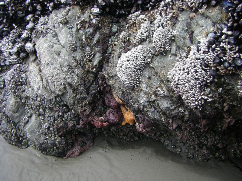
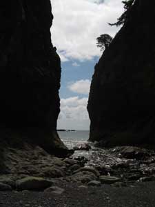
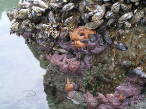
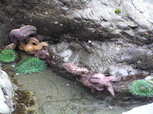
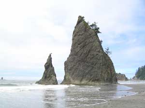
The base of the seastack was a jewel box of mussles and barnicles and lesser shells, here and there decorated with dazzling star fish. There were little caves, some worn into the stone and plain, others decorated like the seastack base. We made our way around the seastack, away from the beach. By carefully timing the waves we made it to the small beach between the large landward seastack and the smaller seastack behind it. We explored a bit, admiring our own adventurousness, our good fortune, and the wonderful scenery.
Not ones to press our luck, we made our way back after a brief sojourn, and explored the beachward face of the seastack. We have seen people climbing seastacks, and we considered climbing this one, but we Kalebergs have more the grace of gazebos than gazelles, so we settled for a sea level tour.
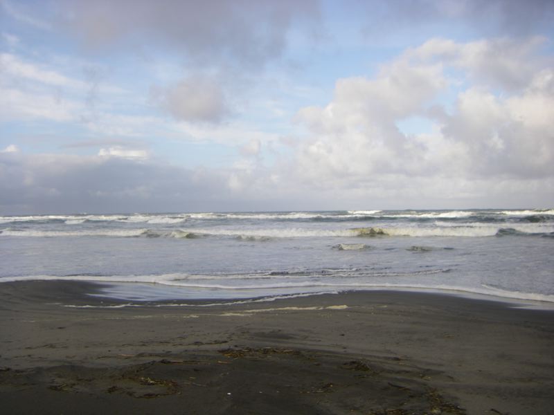
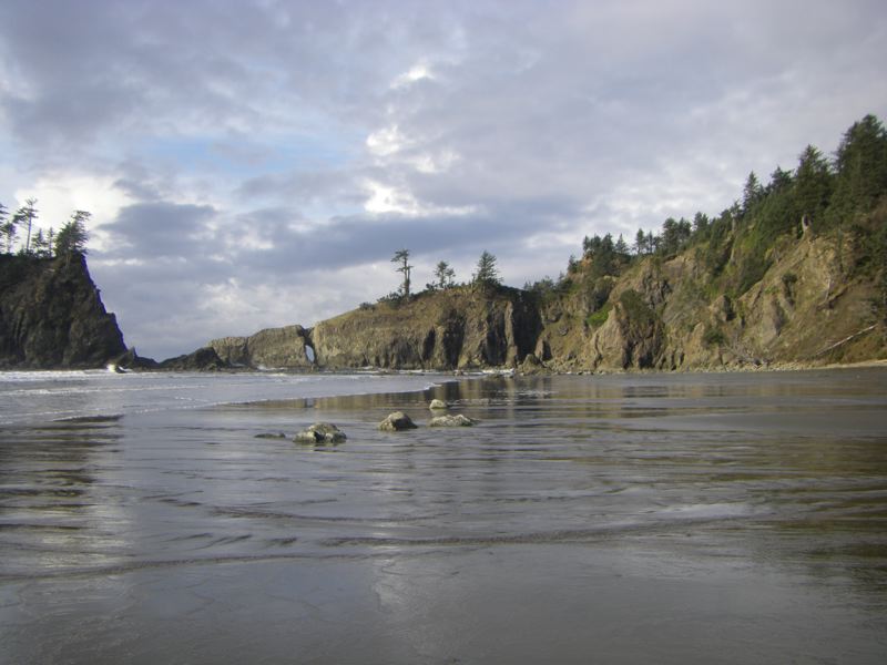
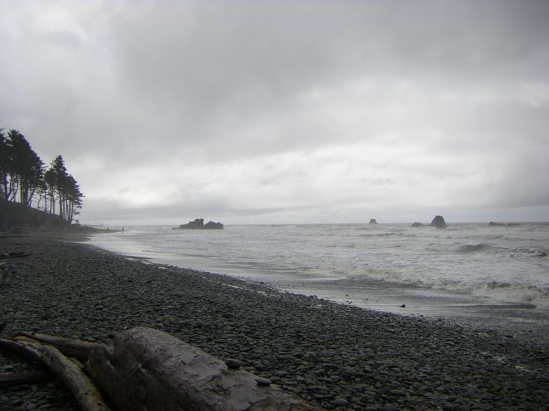
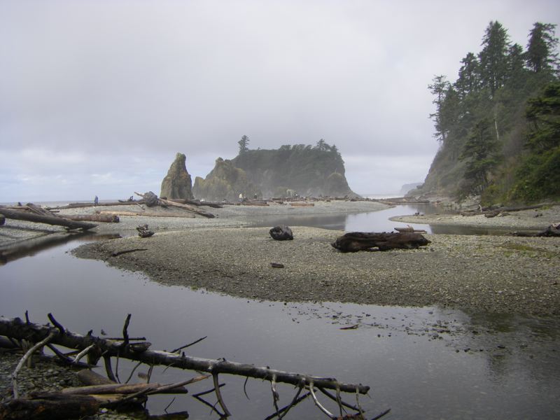
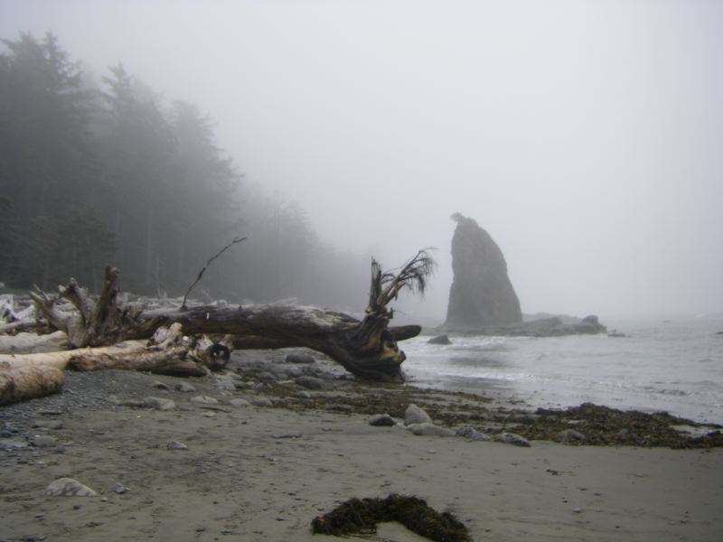
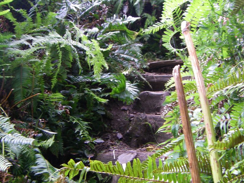
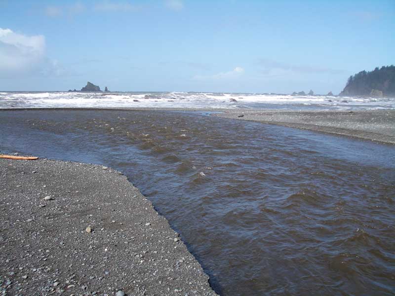
Our return to the beach along the sandbar was straightforward. This is just as well. We always like to be able to retrace our steps. We then explored Second Beach to the south, wandering about the Pirate Cave and gawking at anemones in the various tidepools. When we returned to the sandbar that led to the seastack the tide had risen. A fair bit of the sandbar was already submerged. We had seized our opportunity. Time and tide, we knew, wait for no man. |
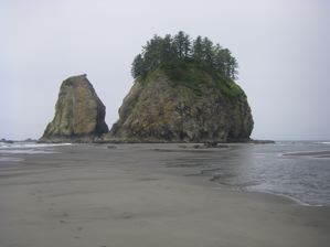 Our miraculous sandbar Our miraculous sandbar |
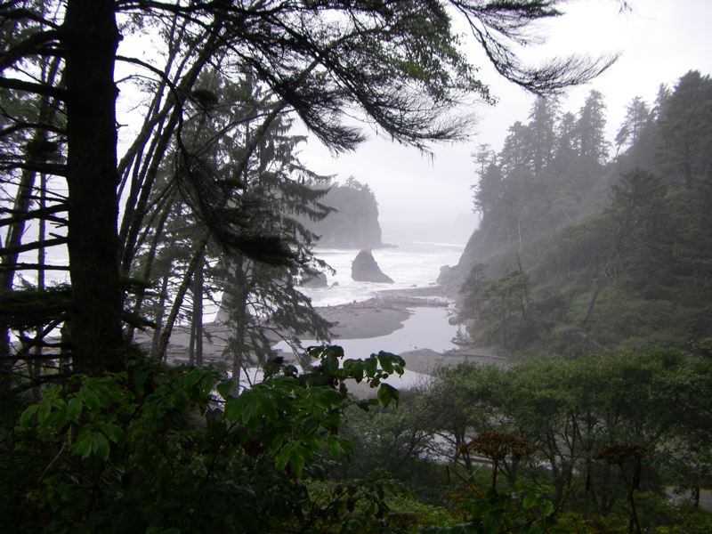
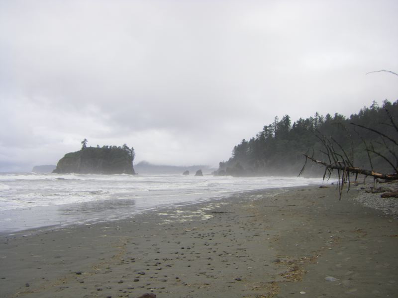
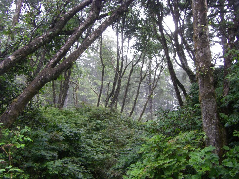
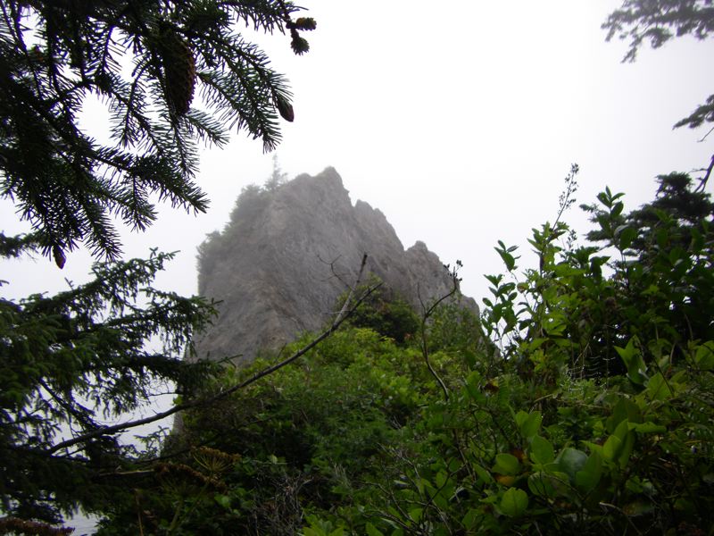
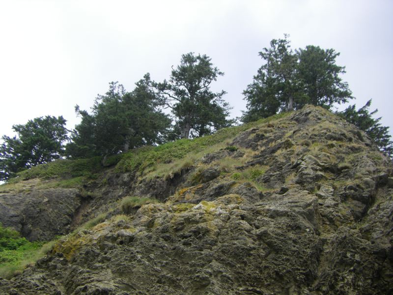
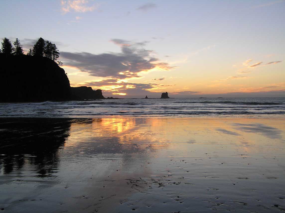
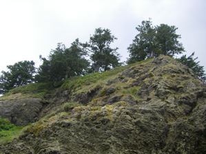 Seastacks are each a little world, isolated from our own. High above us grow forests, grasses, vines and, so we have been told, wild strawberries. Seastacks are each a little world, isolated from our own. High above us grow forests, grasses, vines and, so we have been told, wild strawberries. |
 Our treacherous passage to the seaward seastack showing the mosaic of shells lining the base of the seastack. Our treacherous passage to the seaward seastack showing the mosaic of shells lining the base of the seastack. |
 A mysterious cave A mysterious cave |
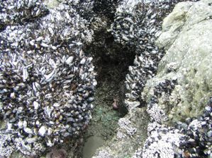 A decorated cave A decorated cave |
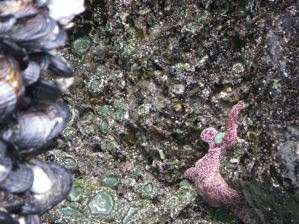 The surface is studded with shells and adorned with starfish. The surface is studded with shells and adorned with starfish. |
 More starfish waiting out the tide More starfish waiting out the tide |


