|
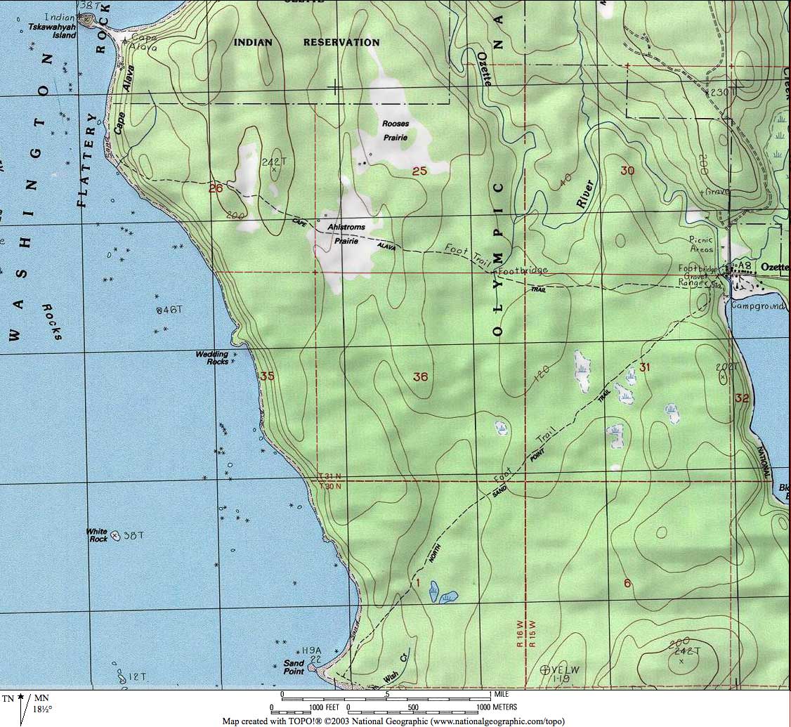
The Lake Ozette-Cape Alava-Sand Point triangle is a very special hike. To start with, it takes you to the edge of the world, down to a sheltered shore of the majestic Pacific Ocean. It is a long hike, over nine miles, and it passes through forests and meadows and along a distant beach of rock and sand and driftwood and headlands. The scenery is magnificent. The sensations are exotic and isolated. TRAILHEAD Just getting to the trailhead is an adventure. You can take route 101 west to Sappho, and then take 113 to 112 west, or you can take 101 to the start of 112 a few miles west of Port Angeles. The former route takes you along Lake Crescent; the latter route follows the coast with spectacular views of the Strait of San Juan de Fuca. A bit west of Sekiu route 112 descends. Take the well marked Hoko-Ozette Road runs about 20 miles south and west to the Ozette Ranger Station and the trailhead. Time your trip carefully. The drive from Port Angeles is a bit under two hours, and you want to be at the beach around low tide. |
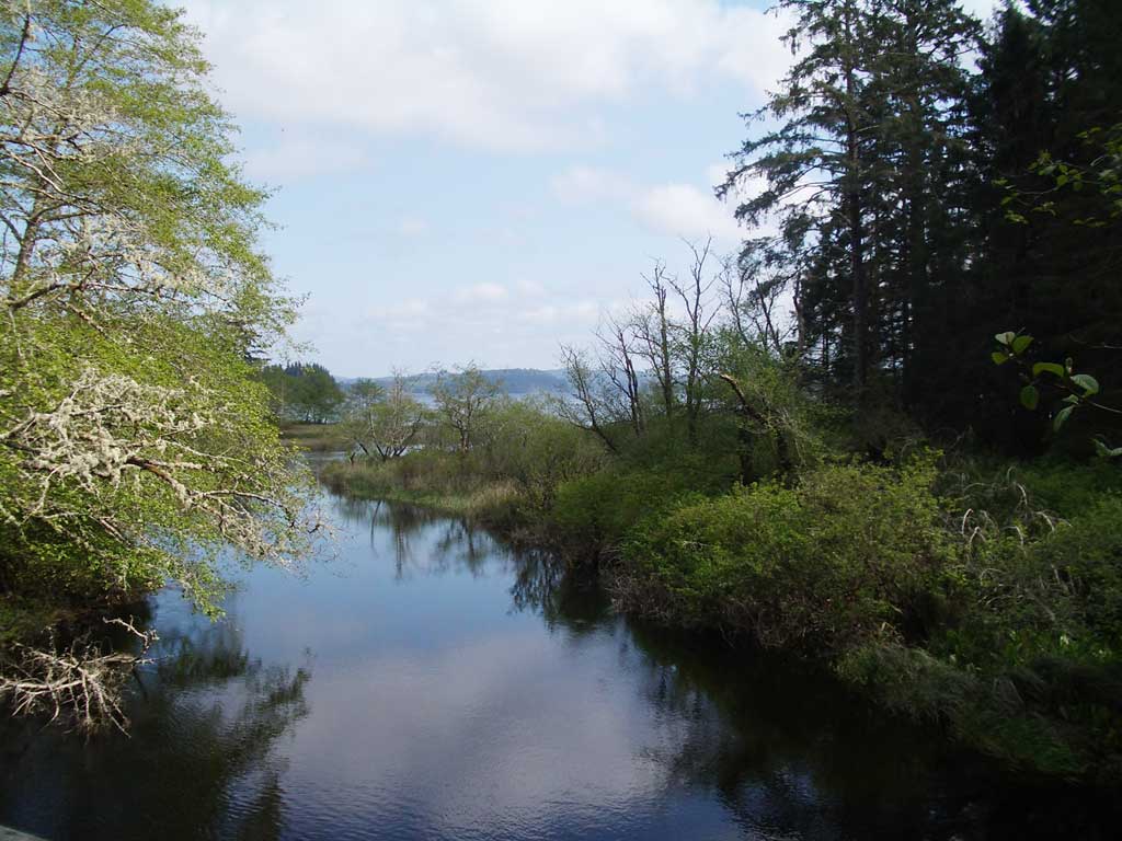
A glimpse of Lake Ozette from the bridge near the ranger station |
|
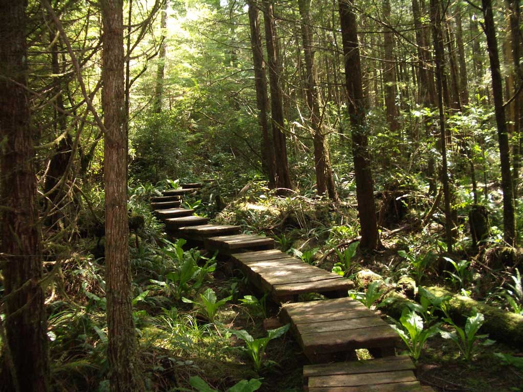
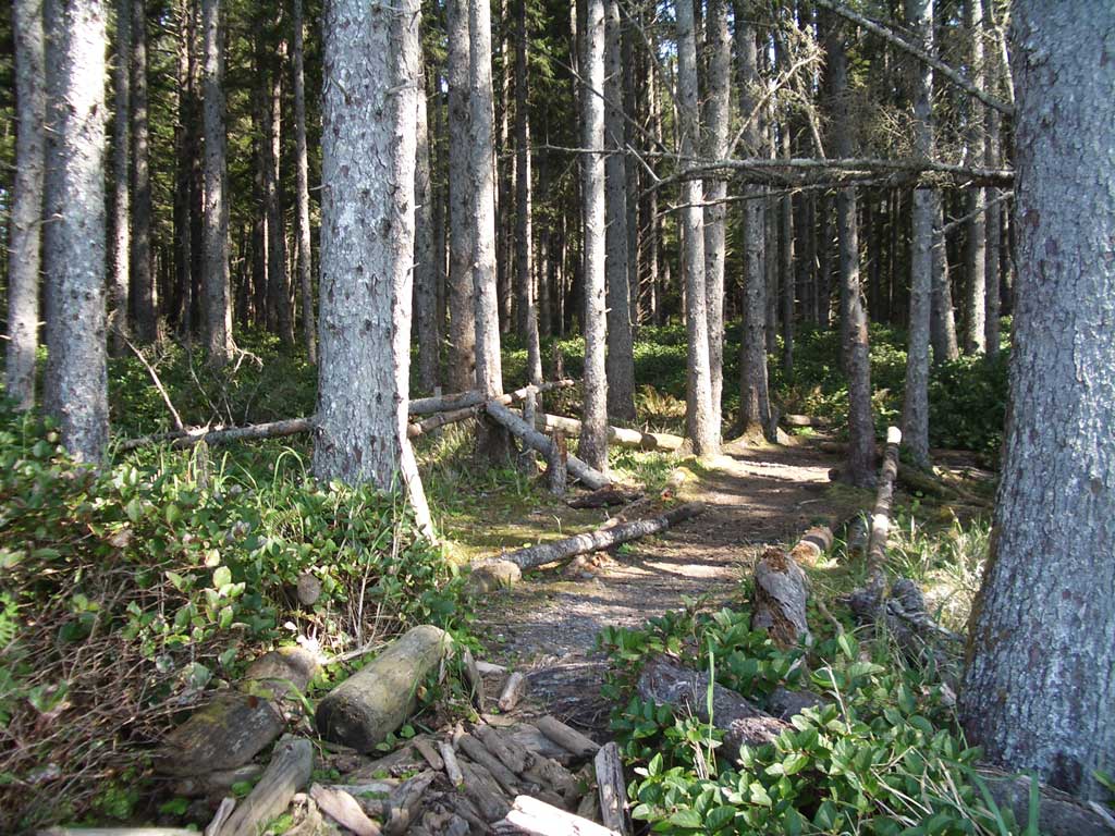
Most of the trail out is through forest |
Many guides recommend first walking to Sand Point and then heading north to Cape Alava, but we always do this hike in the other direction. We first walk from the ranger station to Cape Alava, then head south along the beach, then head back from Sand Point. The trail to Cape Alava is harder, longer, and has more ups and downs than the Sand Point trail, so we like to do the harder trail first, and then the easier one when we are more tired. This also makes more sense along the beach. The Cape Alava beach has the narrowest strip of stand and more downed trees to struggle over, under, around and through. Further south, the beaches are wider and easier going. |
 |
|
|
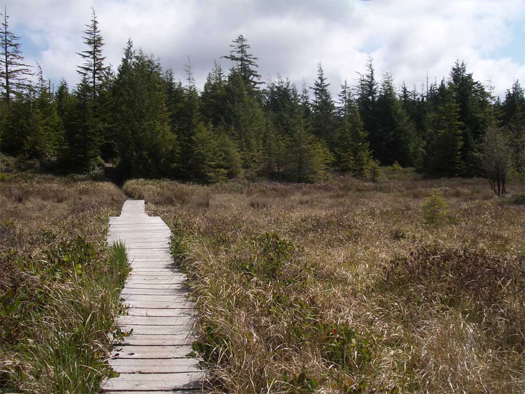
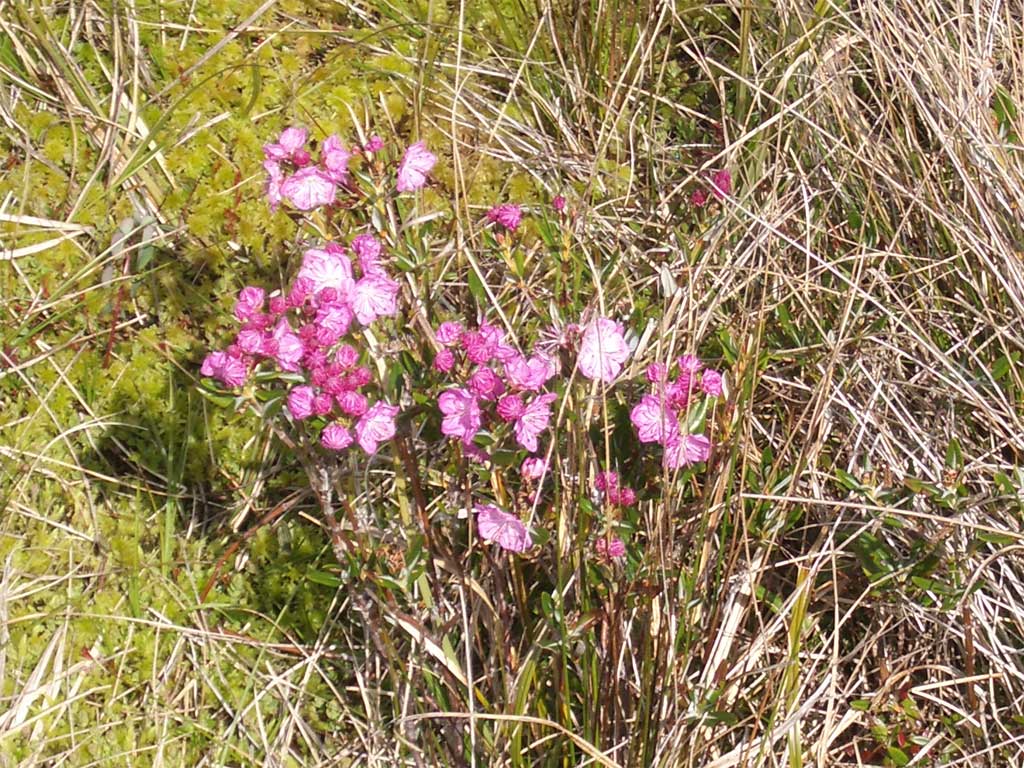
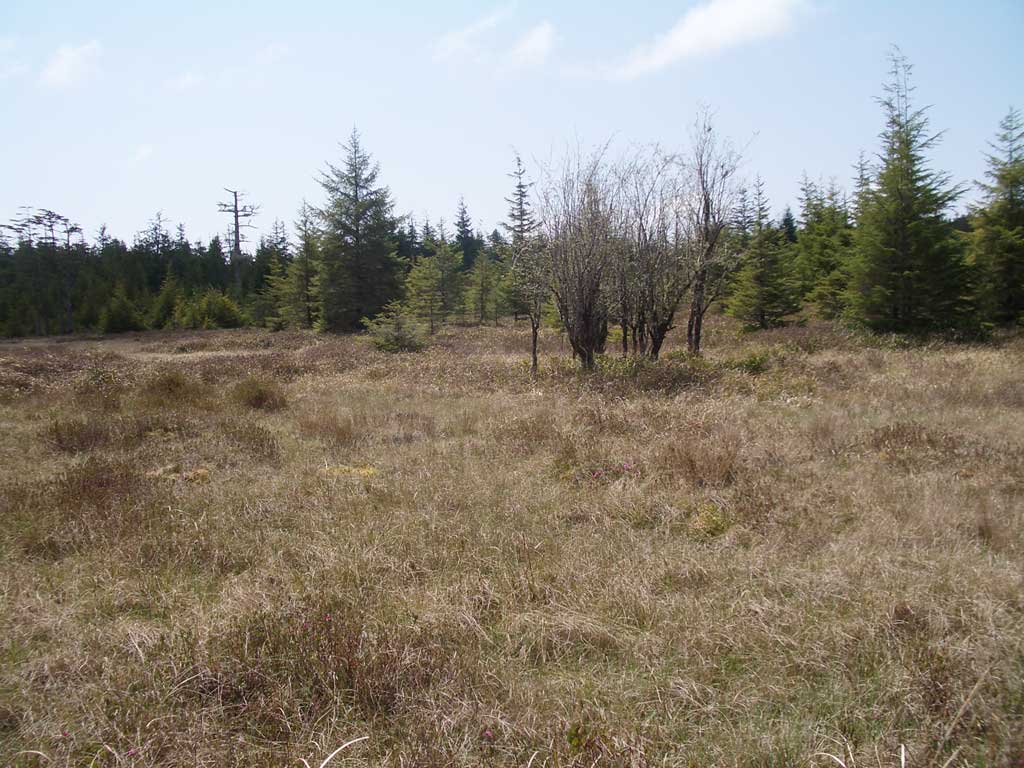
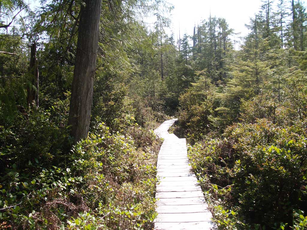
From Lake Ozette to Cape Alava Most of this trail is on boardwalks running through rainforest. There are ferns and salal and, in the wet patches, stands of skunk cabbage. The trail goes up and down and crosses a stream in one of the larger canyons. We gather that this trail used to be rough going before the boardwalk. The mud was a serious challenge. Now, the boardwalk is being replaced with a grit and gravel mixture, largely hauled in by helicopter. The forest opens into Ahlstrom's Meadow after a mile or two. There is almost always something blooming here, so keep your eyes open. |
 |
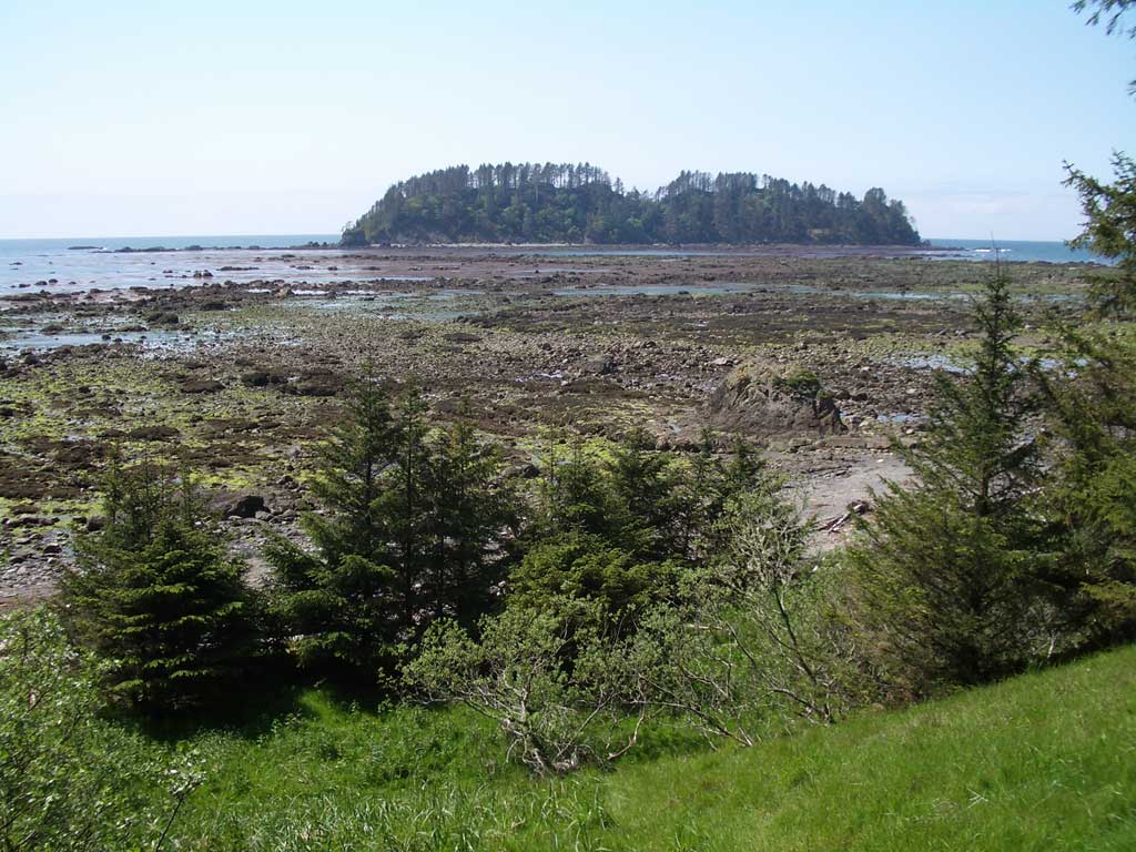 |
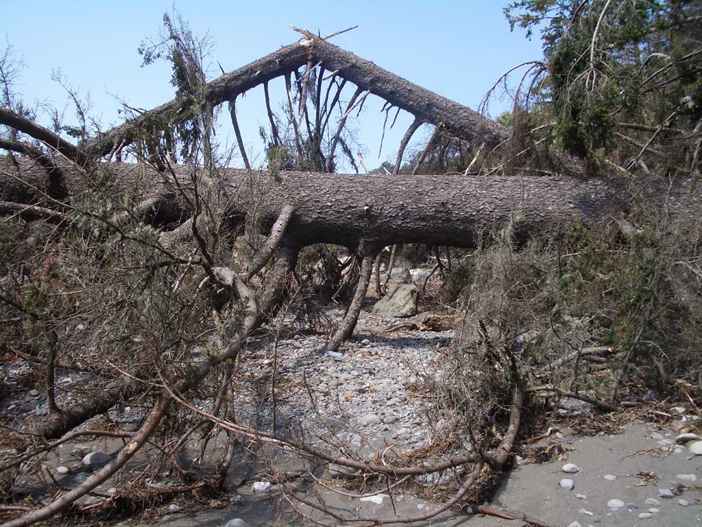
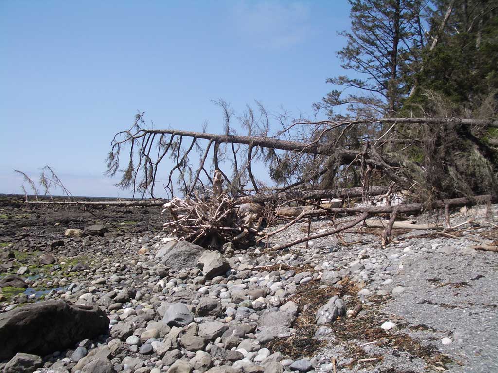
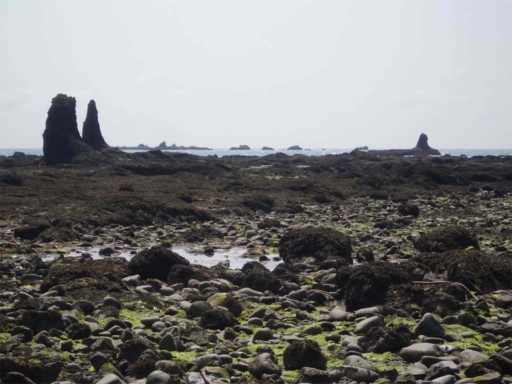
From Cape Alava to Sand Point At low tide, the Pacific Ocean is far from the beach, separated by a rough, rocky and scraggly field of rocks, seaweed and tidepools. You can explore this field, but it can be tricky, especially on wet days when the seaweed is slick. We usually stick to the band of rock and sands at the base of the forest, but even this track is often blocked by driftwood and fallen trees. It often takes a bit of thinking and a bit of doing to find a safe path through these obstacles. Some of the trunks are four feet in diameter, and several trunks often intertwine and make passage a puzzle. |
 |
|
 |
 |
 |
There are several sweeps of beach between Cape Alava and Sand Point. The first is the roughest, with fallen trees and driftwood. Then comes the first headland. There is an inland for high tide, but at low tide we head out on the rocks, swinging wide around the headland and then climbing up and inland. |
 |
 |
|
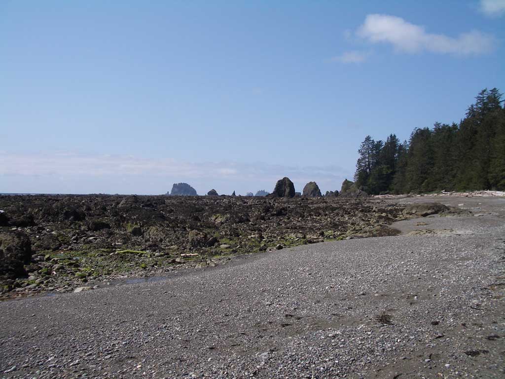
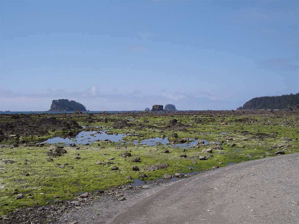
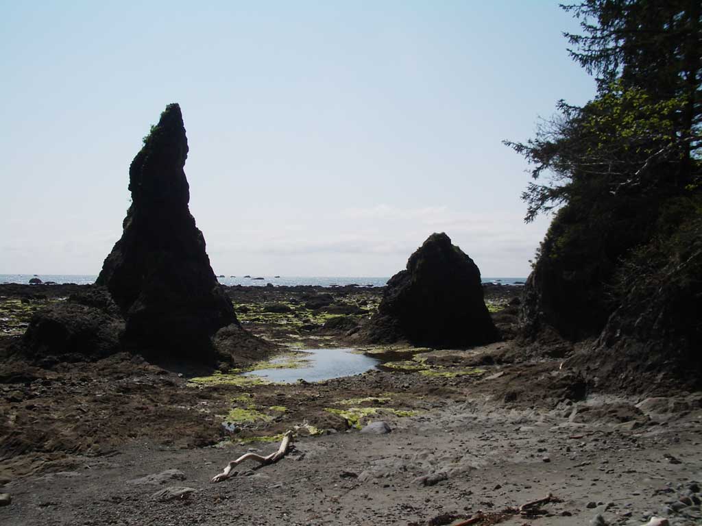
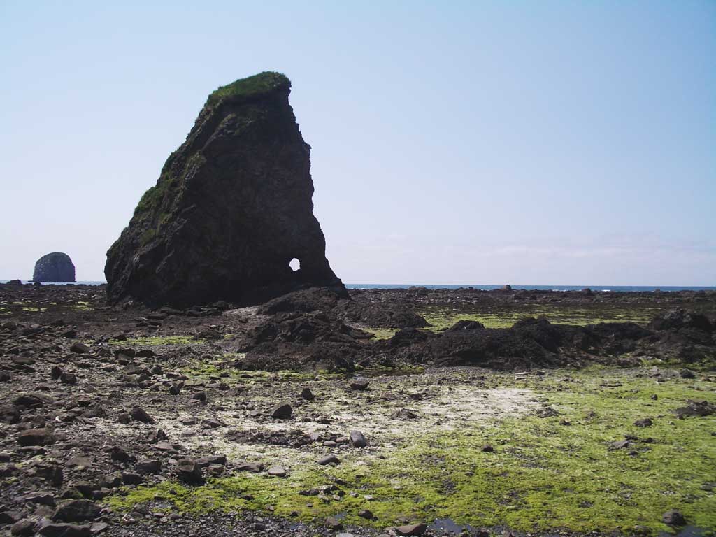
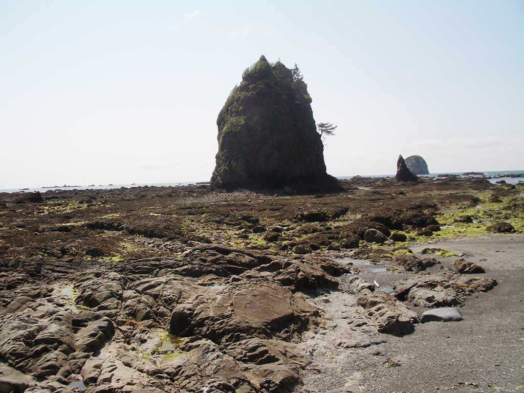
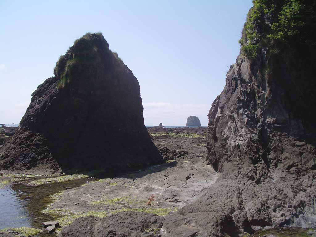
Seastacks Seastacks are common in this part of the world. Each one is a little island, a miniature world. Some people climb the seastacks. Our skills are more limited, but even from the ground, we can see little trees, shrubs, and grasses growing out of the seastacks. Supposedly, there are wild strawberries growing on some of them, but we aren't exactly sure of which. |
 |
 |
 |
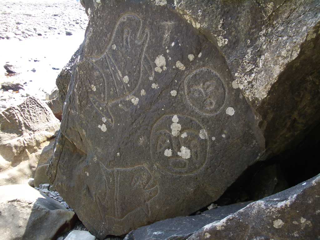 |
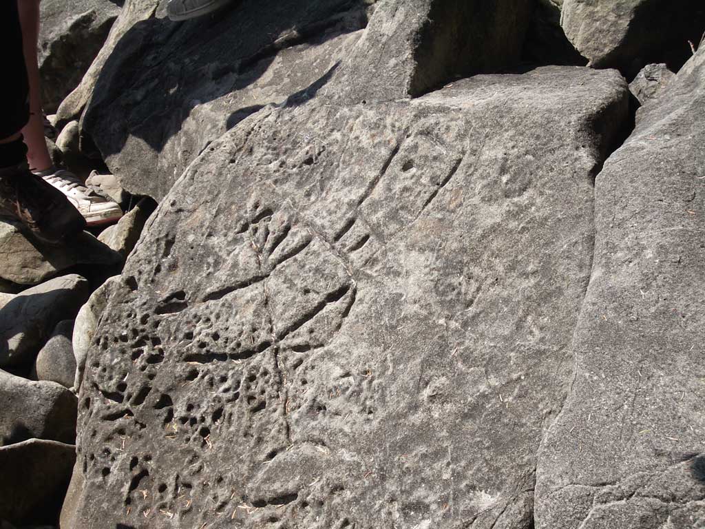
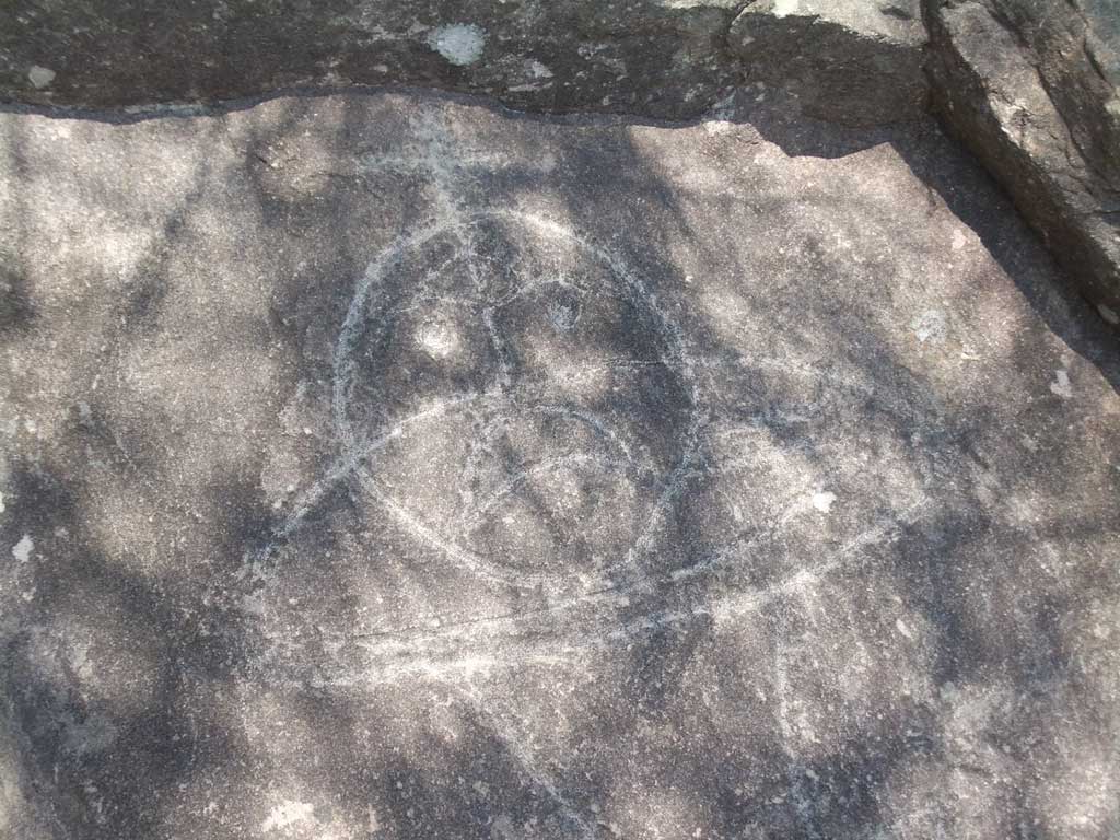
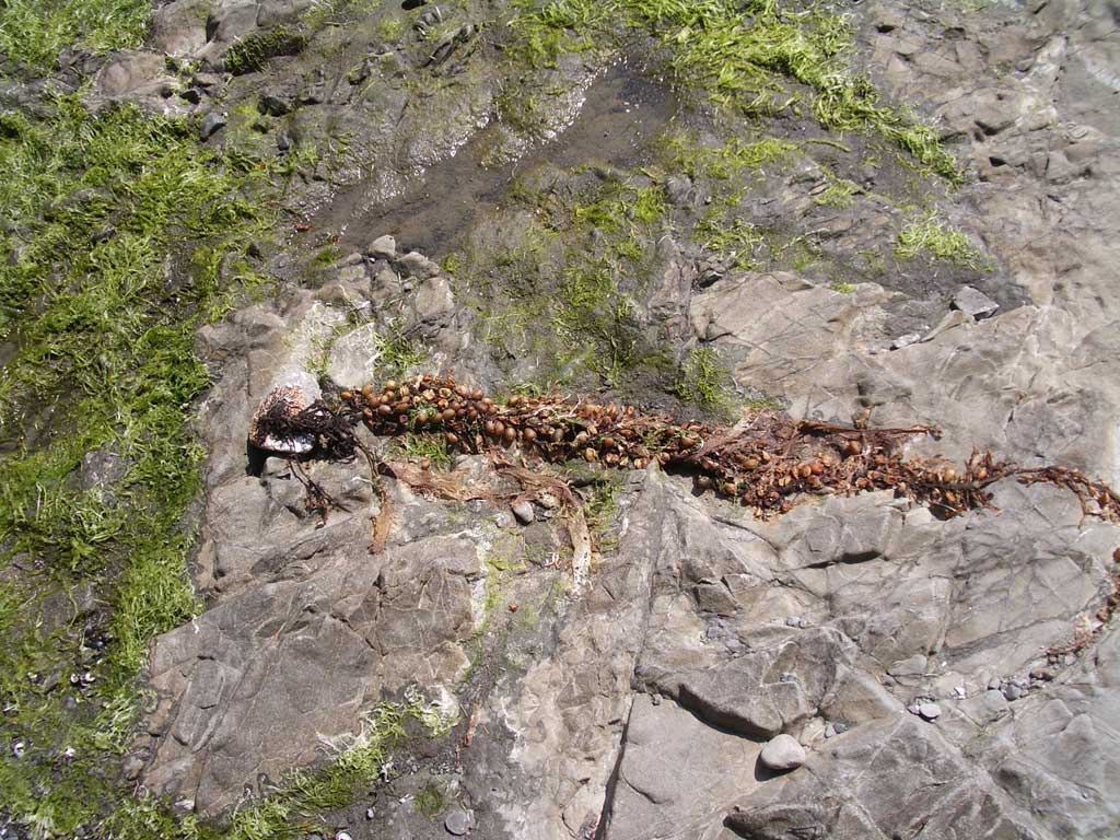
There are petroglyphs after the first headland as you head south along the coast. The rocks here have been battered by the sea, but if you look for more sheltered faces, you will find carvings of whales and seals and possibly people. There is supposedly on rock which has petroglyphs depicting a wedding. |
 |
 |
|
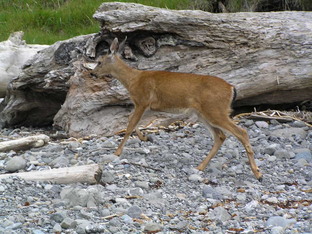
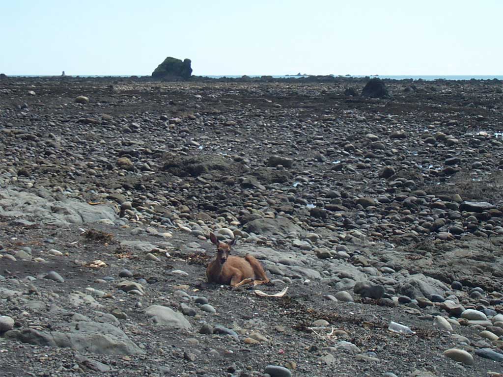
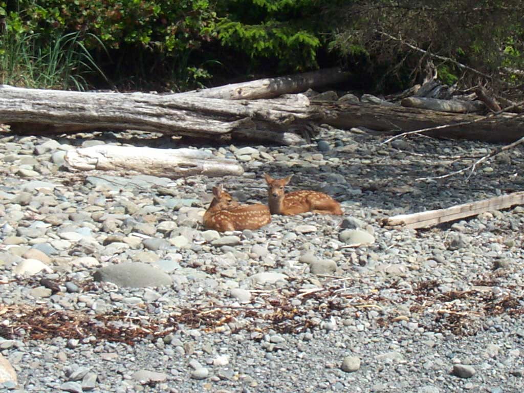
Fawns In the spring, there are often deer and fawns along the beach. They are very calm around people, so you can get pretty close to them and take pictures. |
 |
 |
A lot of the fun of this hike is exploring the beach. There two major headlands, and you can scramble through the rocky passageways. The second major headland, as you head south, has a secret cove that can only be reached from the sea, or from the rocks at low tide. It's not quite as good as a pirate cave, but it's pretty neat. |
| Keep your eyes open as you explore. It's not all rocks and dead crabs and shattered snail shells glistening at your feet. Check the tree line for eagles, hawks and ravens. Check the ocean for migrating sea birds or whales. Check underfoot for whatever treasures the sea may be offering. |
 |
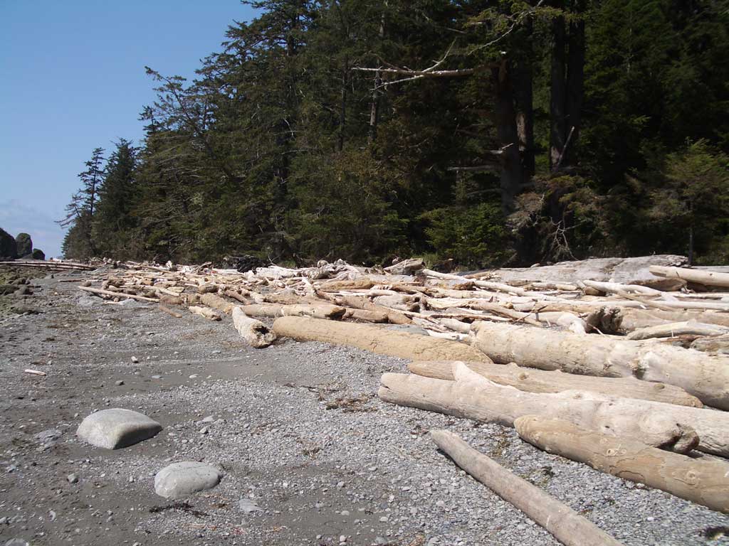 |
The southern-most beach is down at Sand Point, and it is the sandiest beach and usually the easiest going. The beach is a smooth crescent lined with neatly stacked driftwood logs. |
|
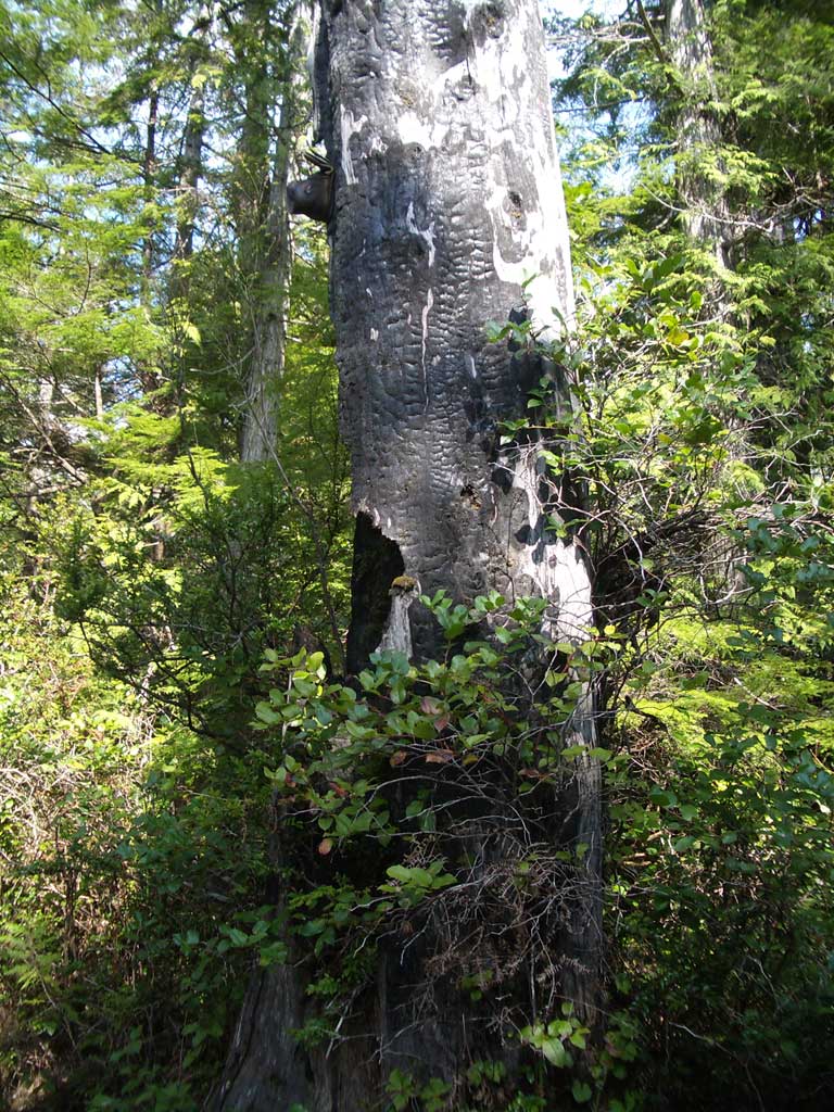
Sand Point to Lake Ozette Look for the trailhead disk to find the route back to the ranger station. You'll have to clamber over some of the driftwood to get to the trailhead. After exploring the open beach, returning to the forest feels like entering a room. This leg of the hike is the easiest, mostly boardwalk with a few ups and downs, but not as strenuous as the route out. Much of the forest is second growth, so the trail is more open. Look for signs of fire on some of the older trees. They've been bleached to pale gray, but many are still standing as a new forest grows around them. |
 |
 |
 |