
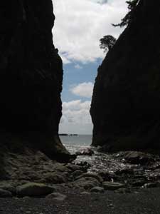
Keywords: beaches, rialto beach, summer
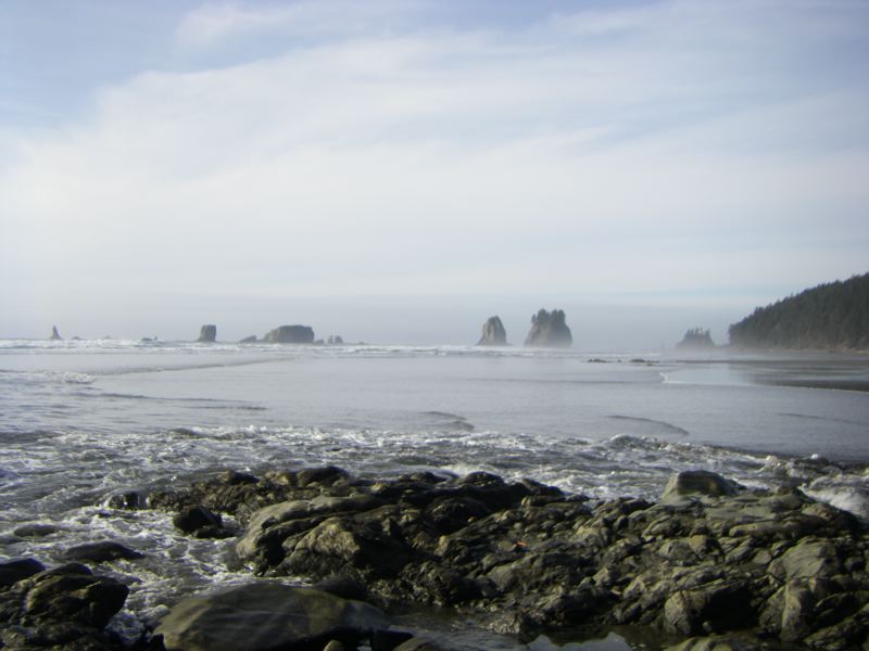
Keywords: rialto beach, second beach, tides, trails, winter
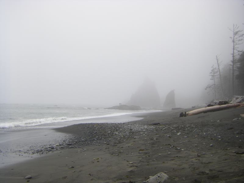
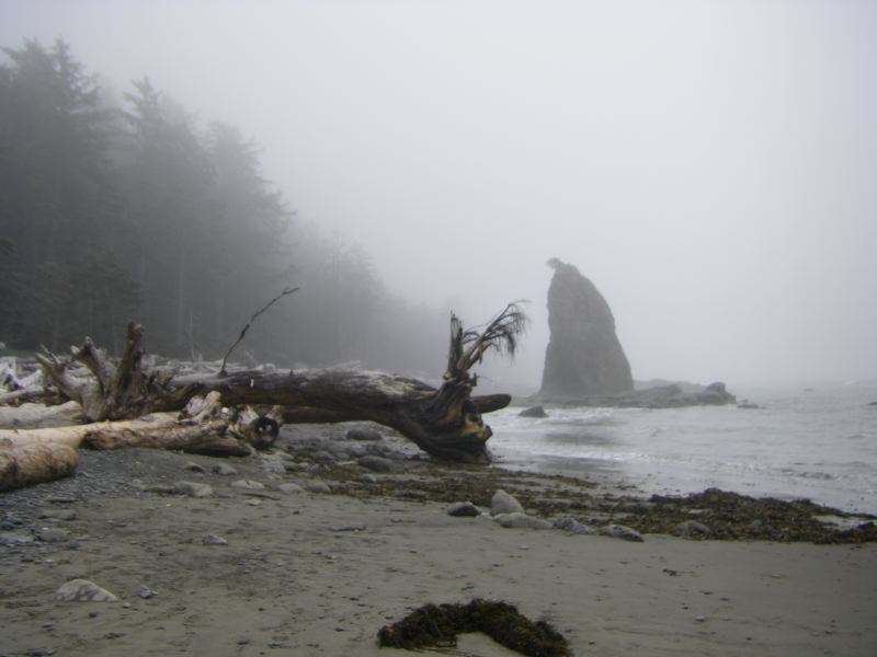
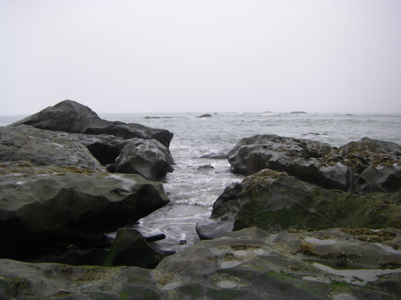
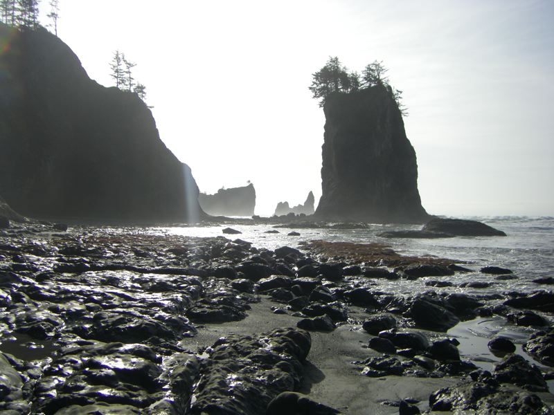
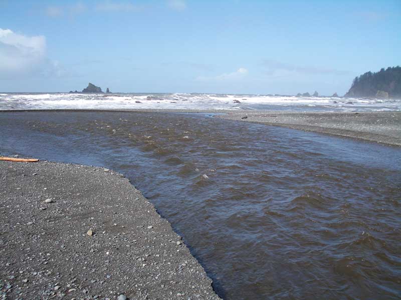
Keywords: rialto beach, winter
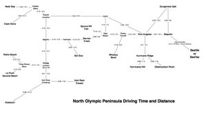
Keywords: maps, science, port angeles, hurricane ridge, hurricane hill, hoh rain forest, elwha, la push, lake crescent, obstruction point, rialto beach, la push, spruce railroad
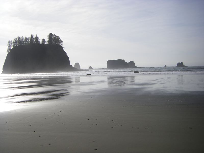
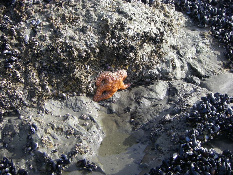
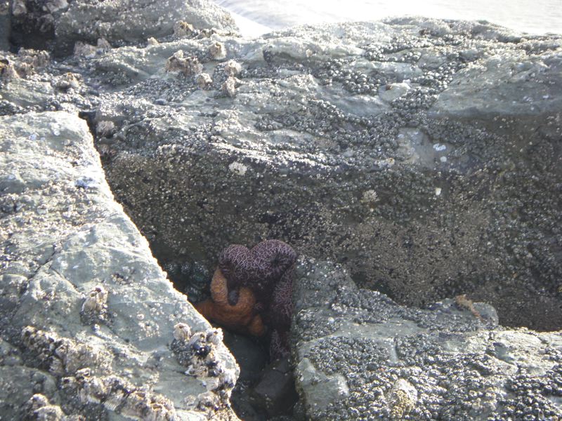
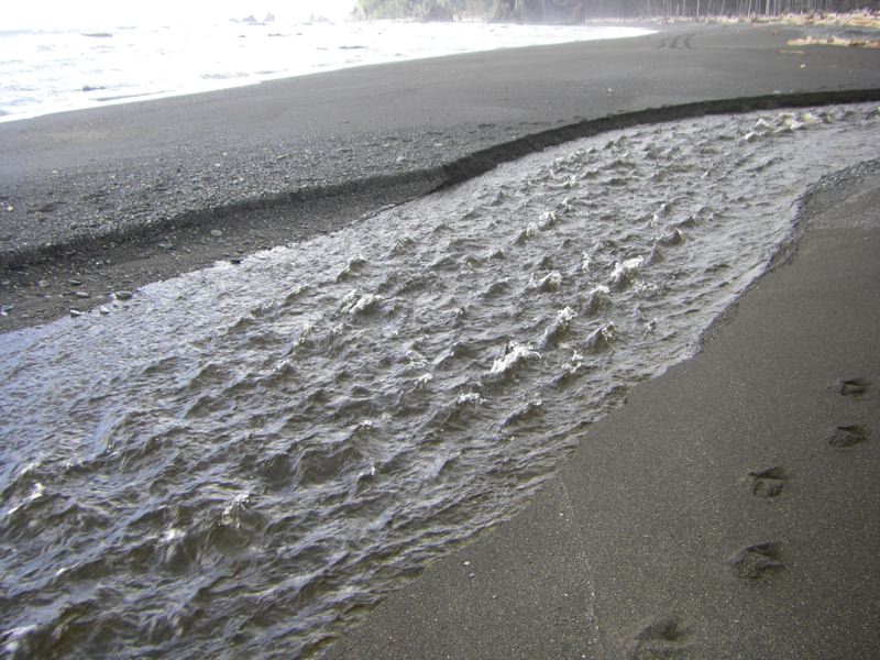
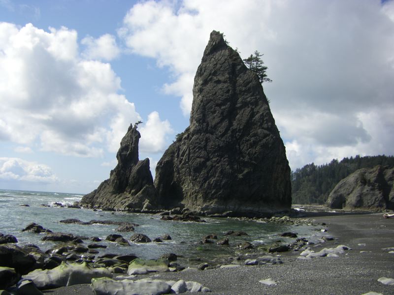
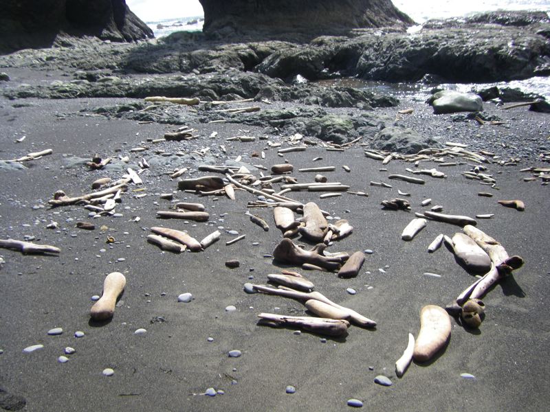
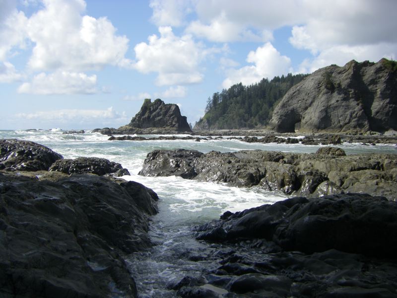
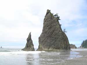
Keywords: rialto beach, beaches
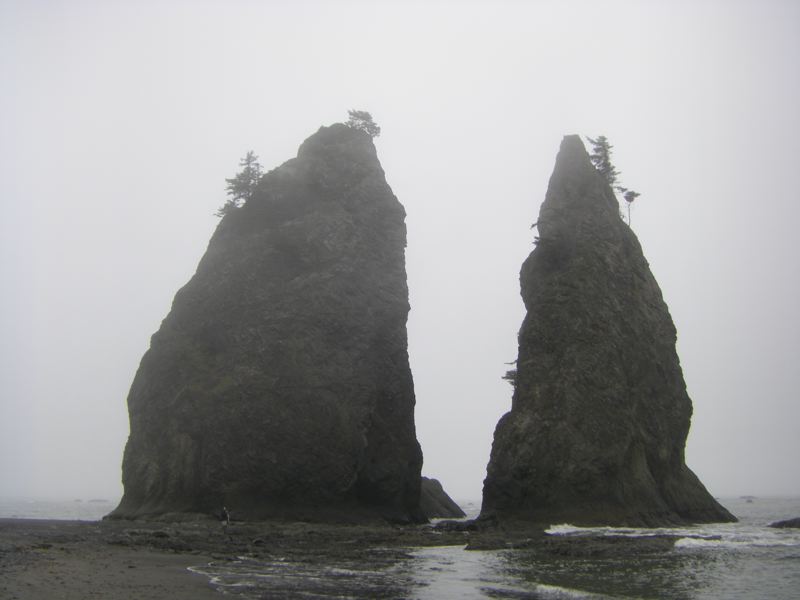
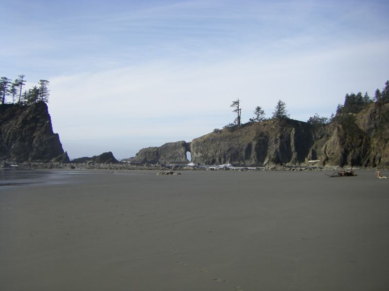
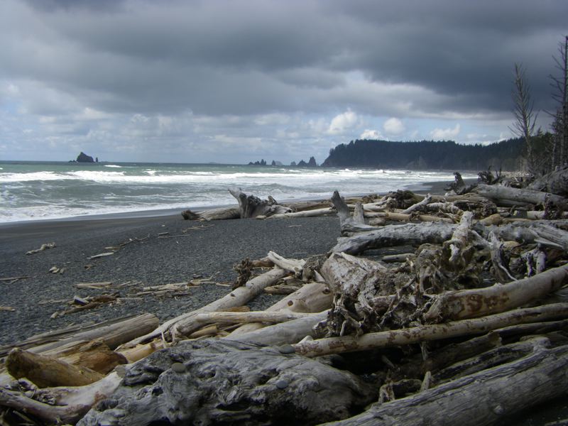
Keywords: rialto beach, beaches, spring
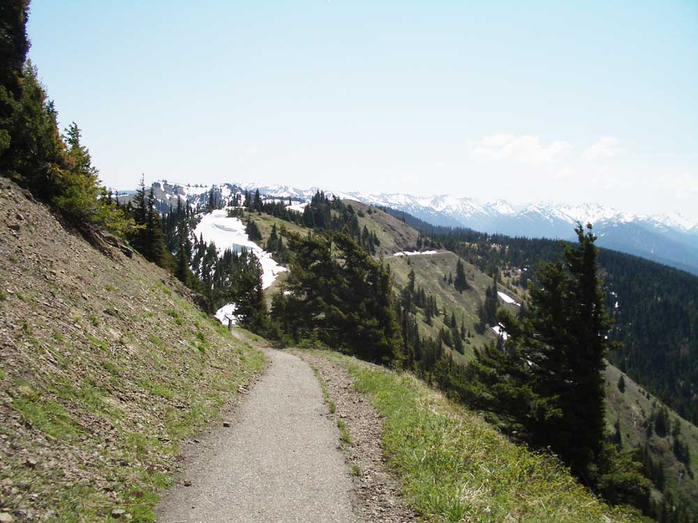
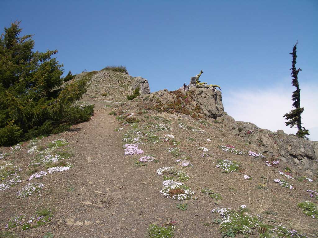
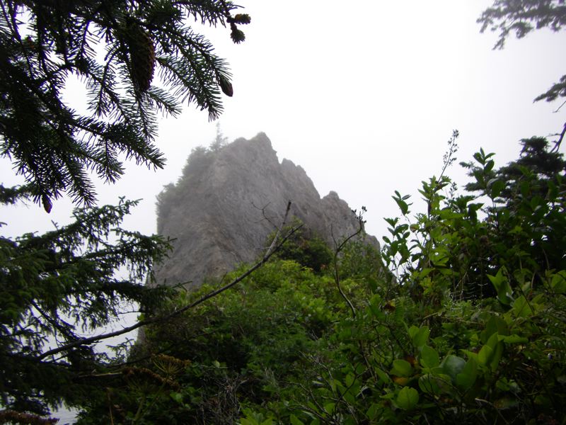
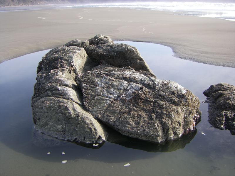
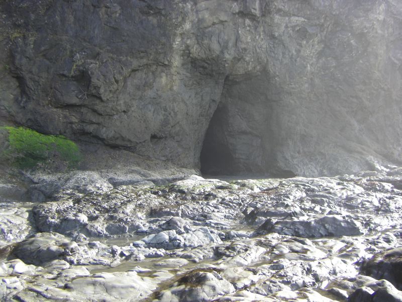
Keywords: rialto beach, beaches, flowers, hurricane hill, second beach
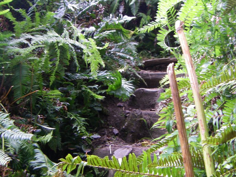
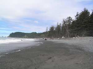
Keywords: second beach, beaches, birds, rialto beach