|
This page is a Kaleberg report on our favorite West End beaches in Olympic National Park. There are more Kaleberg reports on the North Olympic Peninsula. |
|
|
This page is a Kaleberg report on our favorite West End beaches in Olympic National Park. There are more Kaleberg reports on the North Olympic Peninsula. |
|
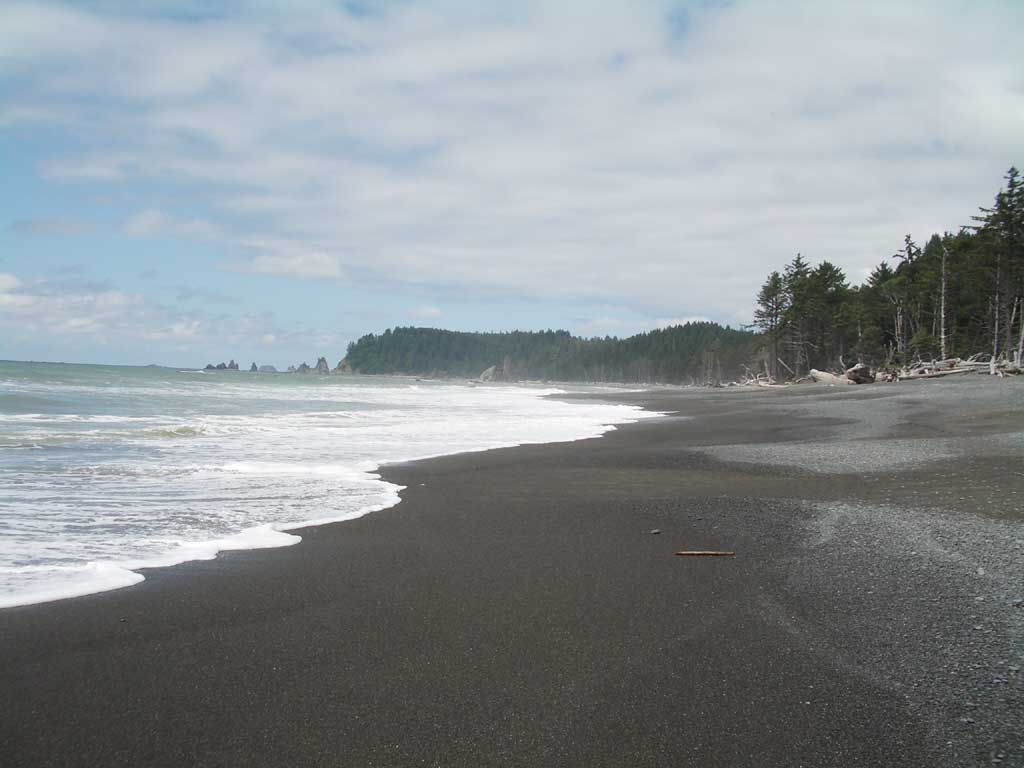
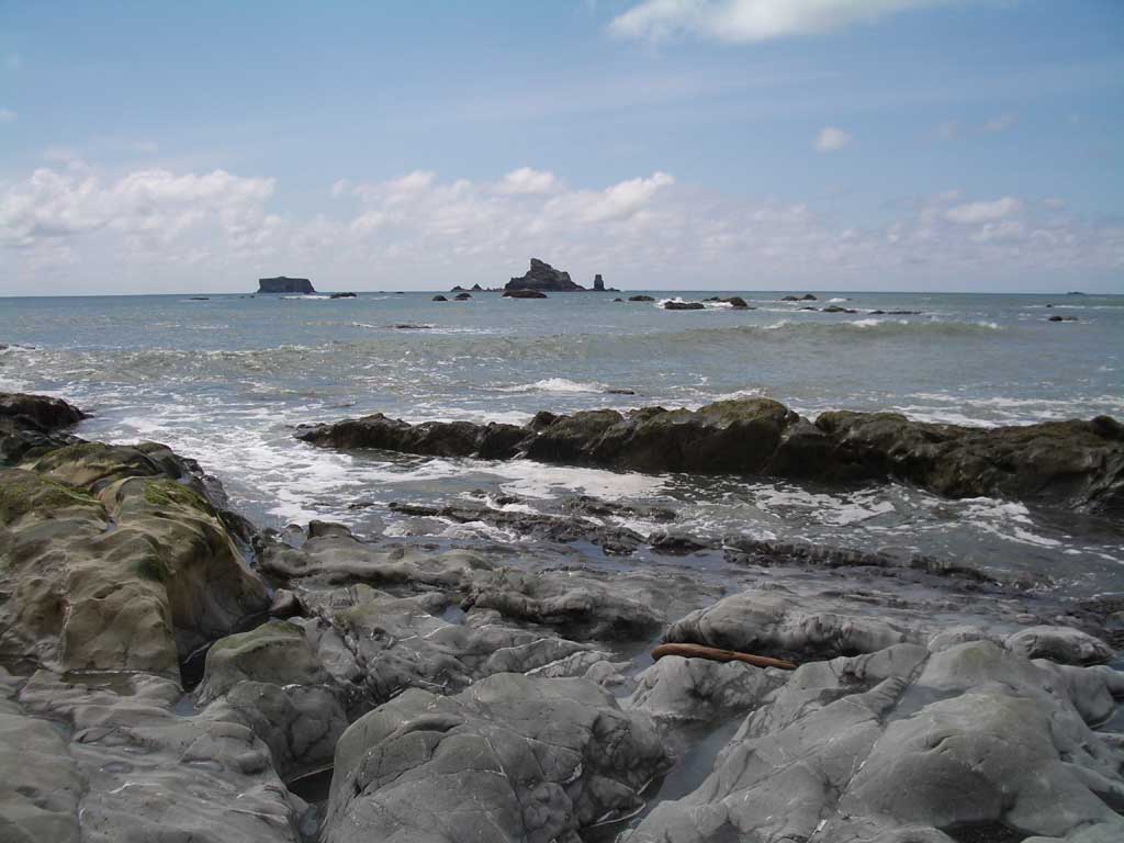
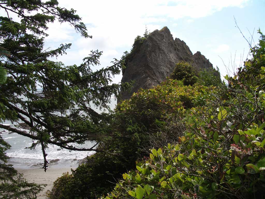
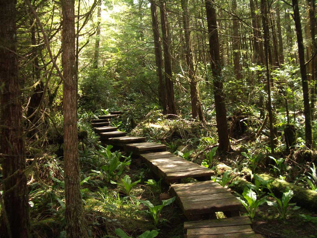
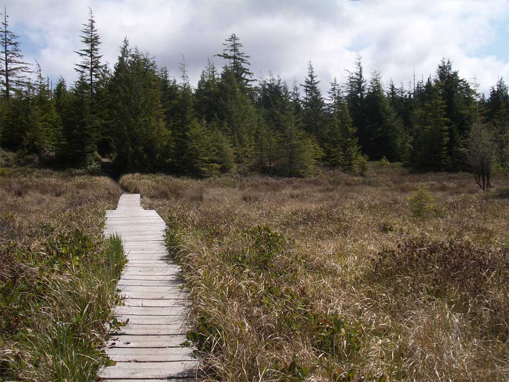
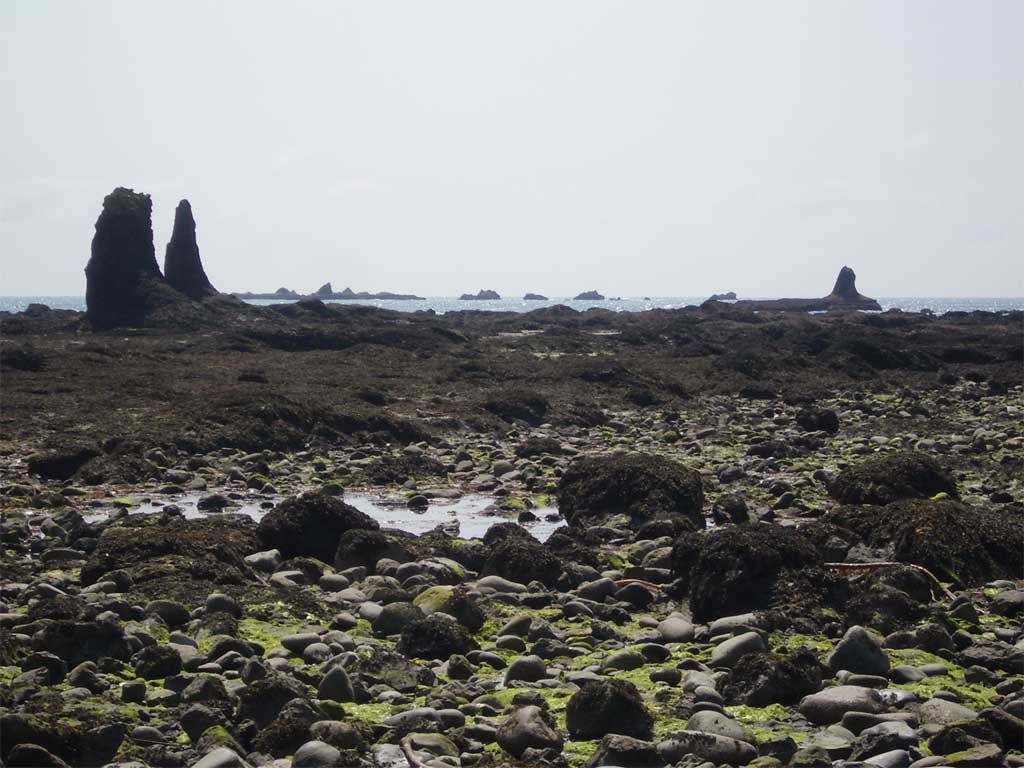
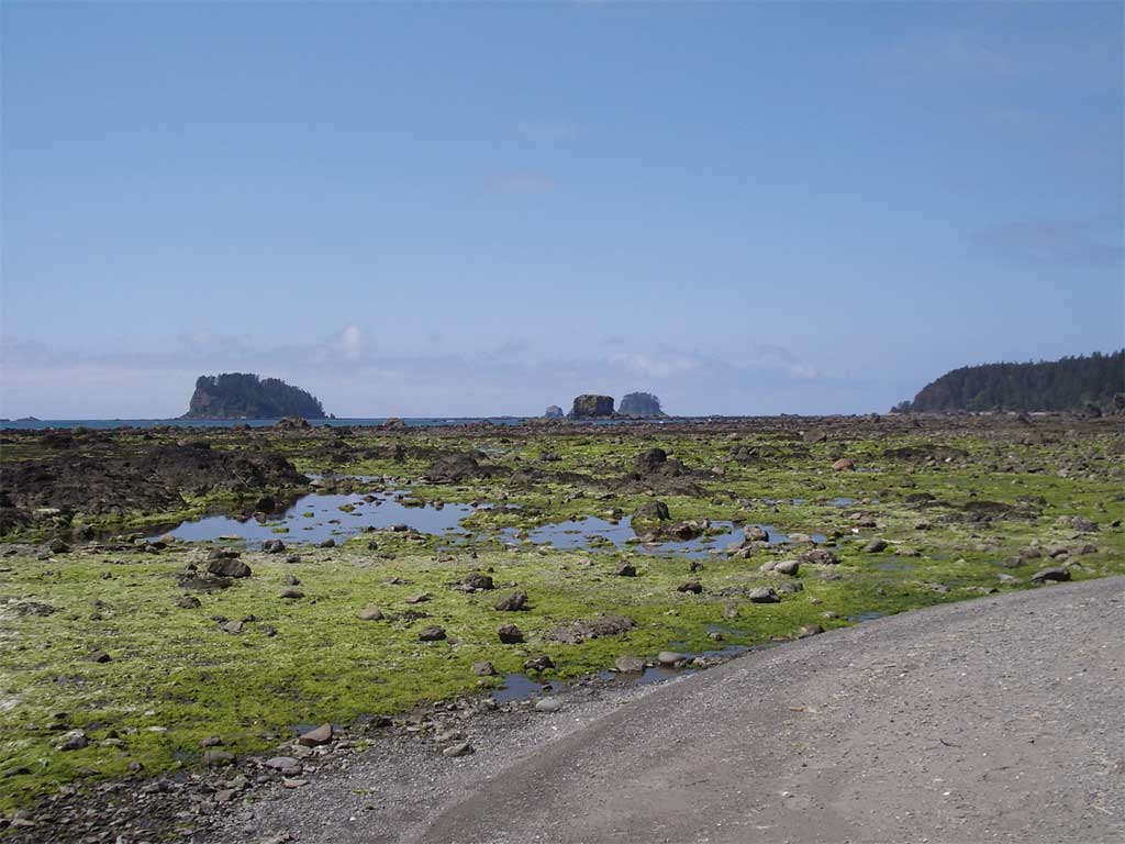
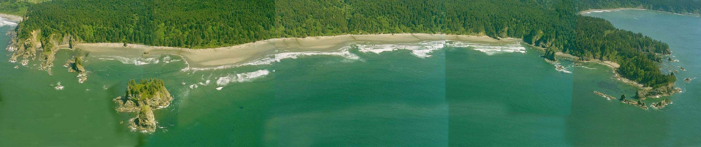
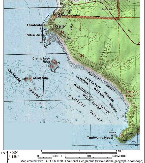
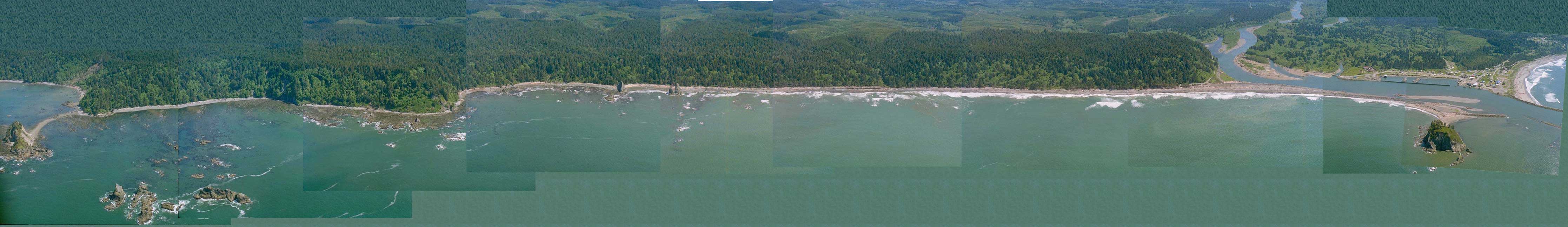
Second BeachThis is one of the prettiest beaches. It starts with a walk through the rain forest and then descends to a driftwood scramble and the beach. At low tide, this beach is broad and sandy. Head south for the tidepools and the sea cave, but mind the tides. You'll see anemones, starfish, and if you watch the tree line, eagles. |
|
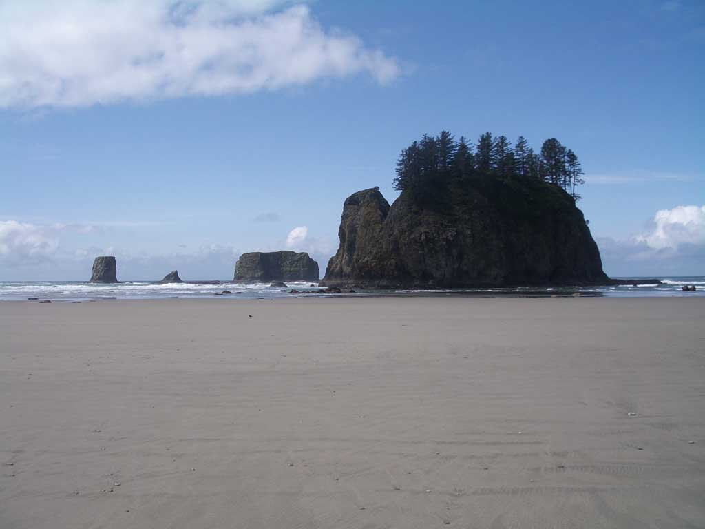 Seastacks and the sand |
|
|
|
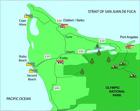
DIRECTIONS From Route 101, take Route 110 west just north of Forks. Stay on Route 110 and watch for the sign for Second Beach on your left. If you reach La Push, you have gone too far. (1:15-1:30 from Port Angeles) The Kaleberg Guide to Second Beach Second Beach (La Push) Tide Tables |
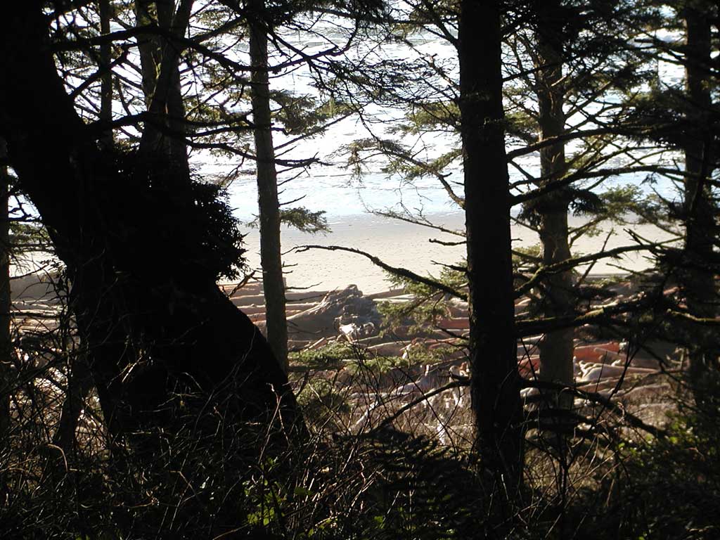
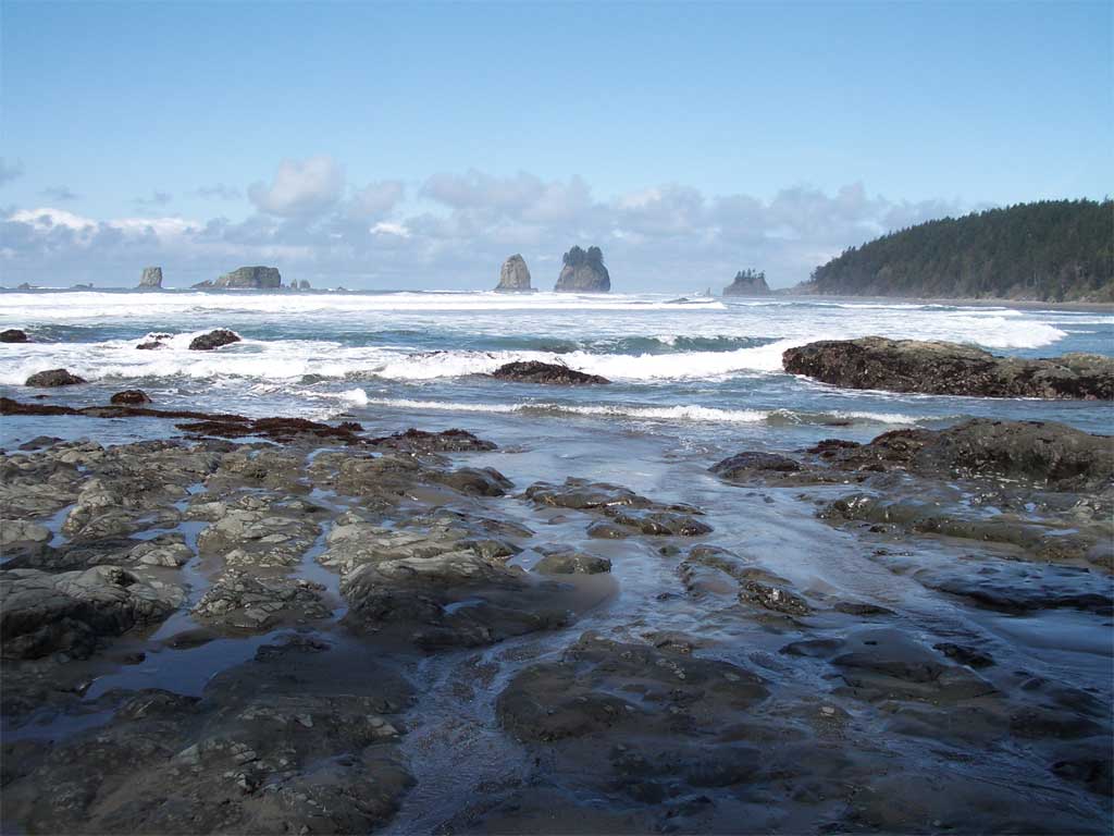
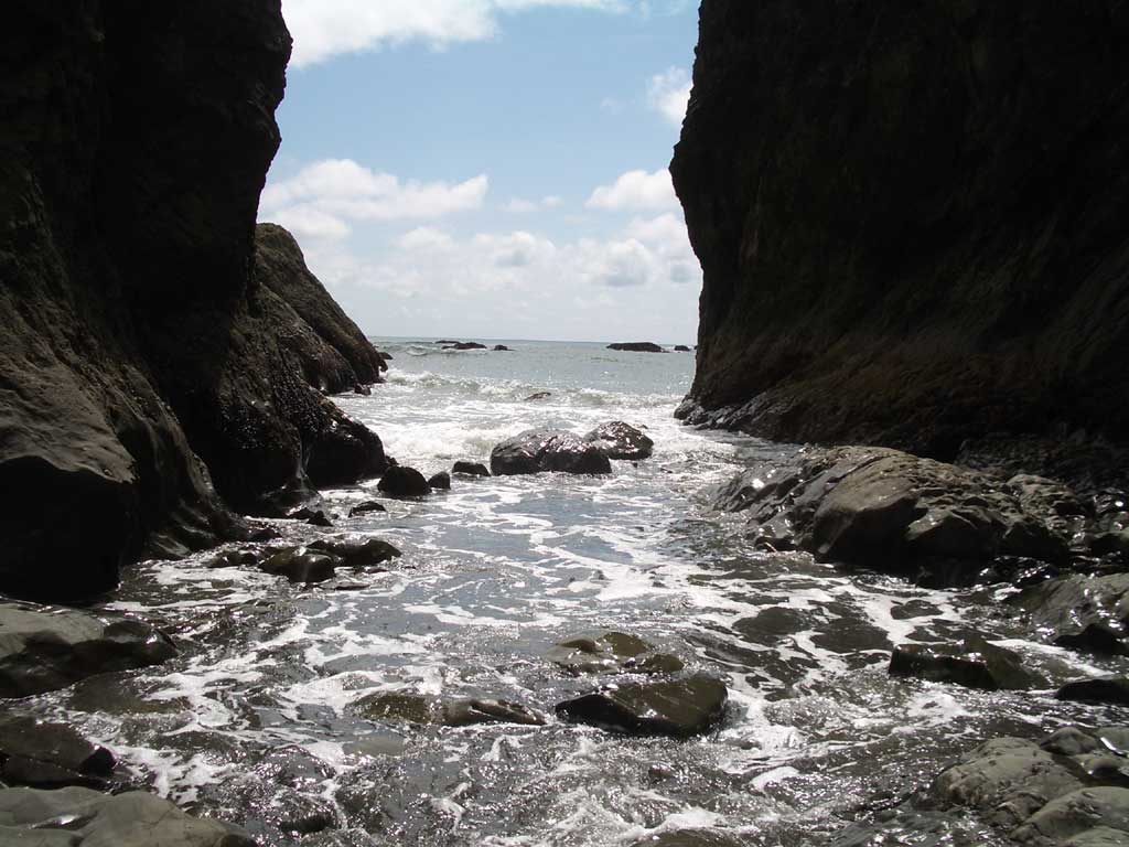
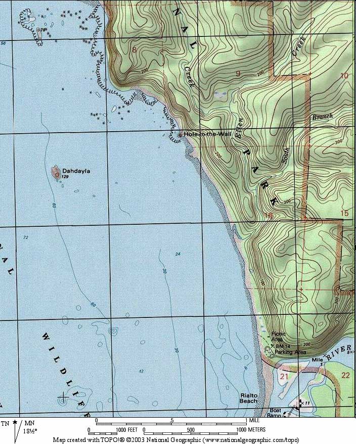
Rialto BeachRialto Beach is wonderfully accessible. You can drive right down to the beach, climb over a log or two, and there you are, at the sea. Head north and ford the river at the one mile mark, then continue to the tide pools and the Hole in the Wall. You can continue north through the Hole, but we suggest taking the inland climb through the jungle. |
|
|
|
|
|
|
DIRECTIONS From Route 101, take Route 110 west just north of Forks. When the speed limit on Route 110 is lowered near the Three Rivers Resort, watch for Mora Road on your right, just after the resort. Turn right onto Mora Road and take it to the end. (1:15-1:30 from Port Angeles) The Kaleberg Guide to Rialto Beach Rialto Beach (La Push) Tide Tables |
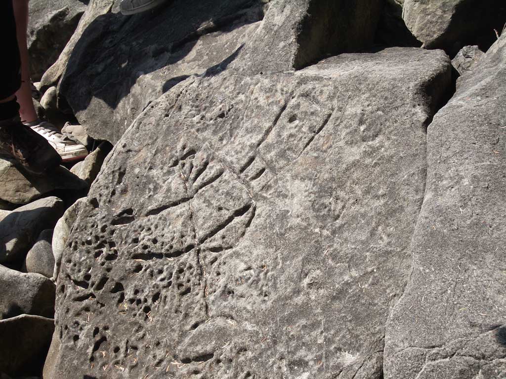
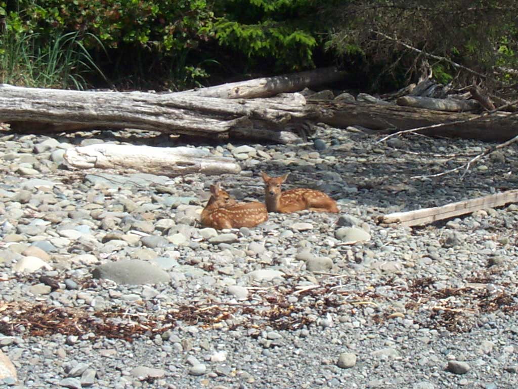
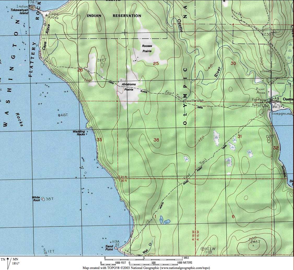
Cape AlavaThis beach is at the end of the world. The drive is long, and then there is the three mile walk through the forest from the Ozette Ranger Station to the sea. After Ahlstrom's Meadow, the trail descends, and then there is the wild, isolated three mile walk among the sea stacks, tide pools, headlands and rocky sand. All that, and the Pacific Ocean. Watch for fawns, eagles and petroglyphs, then return three miles through the forest for a nine mile loop. |
|
|
|
|
|
|
|
|
|
DIRECTIONS Take Route 112 west, past Clallam Bay, to Sekiu. West of Sekiu, the road descends and grows twisty. Watch for the signs for Lake Ozette and the Hoko-Ozette Road on your left. Turn left on the Hoko-Ozette Road and take it to the end. (1:45-2:00 from Port Angeles) The Kaleberg Guide to Cape Alava |


© Copyright Kaleberg Symbionts 2007
