This page is a Kaleberg report on the Dungeness Dike Trail which follows the Dungeness River and offers magnificent bird watching. There are more Kaleberg reports on the North Olympic Peninsula.

Dungeness Dike Trail

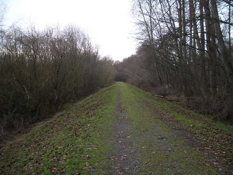
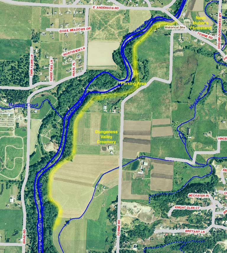
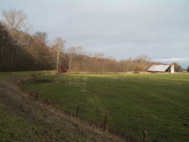
The Dungeness Dike Trail is a relatively tame trail that follows the Dungeness River as it passes through some of the prettiest farmland in the Dungeness River Valley. Running between the river and the fields it offers excellent bird watching and an easy walk atop the protective dike. There are a number of side trails that lead down to the rocky river bed.

TRAILHEAD

The trail is accessible from a small parking lot on the west side of Towne Road between East Anderson Road and Woodcock Road. You can see the dike from the road and should be able to park in the widened area of the road near the access gate.

Rialto Beach

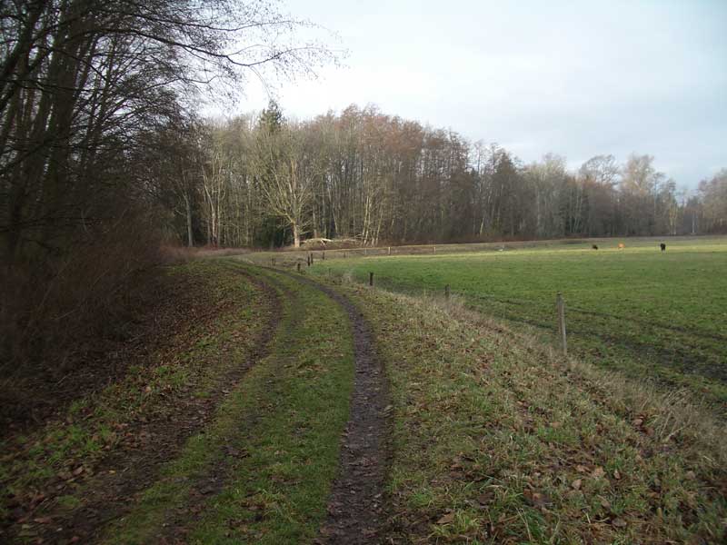
The trail itself is an earthwork dike paralleling the Dungeness River.

Between the Pillars
Rialto Beach
Along the Beach

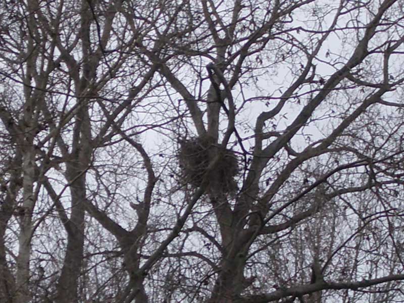
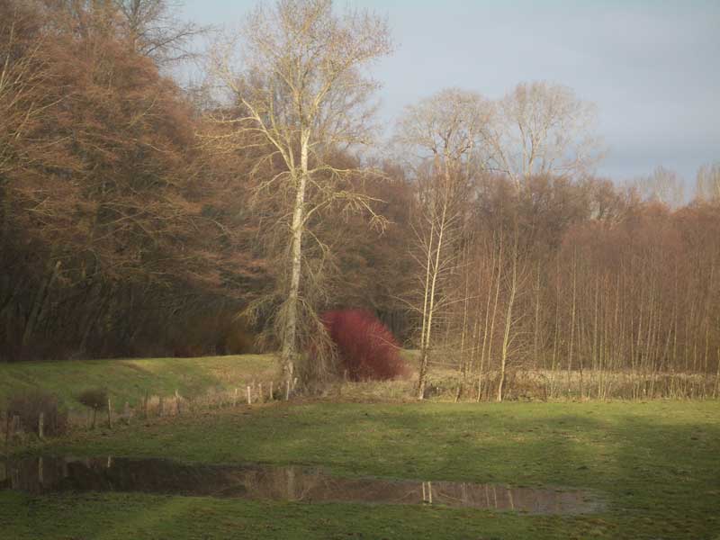
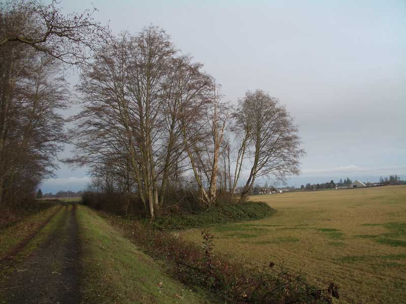
The Dungeness River Valley is a rich, flat river delta area. The dike is a major topographic feature. On one side of the trail there is the wooded area that follows the river, and on the other side is farmland. The dike is an easement through private property, so feel free to wander the dike and head on down to the river to see more, but stay out of the fields and do not hassle the cattle or other farm animals.

The dike is a magnificent area for spotting birds. On a short walk we saw a young bald eagle, two hawks, a host of orioles, ducks, robins and a number of other types. In the winter, when the leaves have fallen, you can spot the big eagle nests like the one on the left. Click on the picture for a close up.

Driftwood at Rialto Beach
More Drift Wood at Rialto Beach

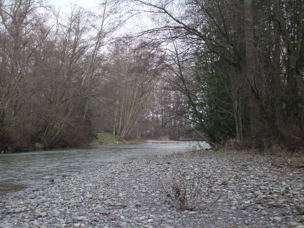
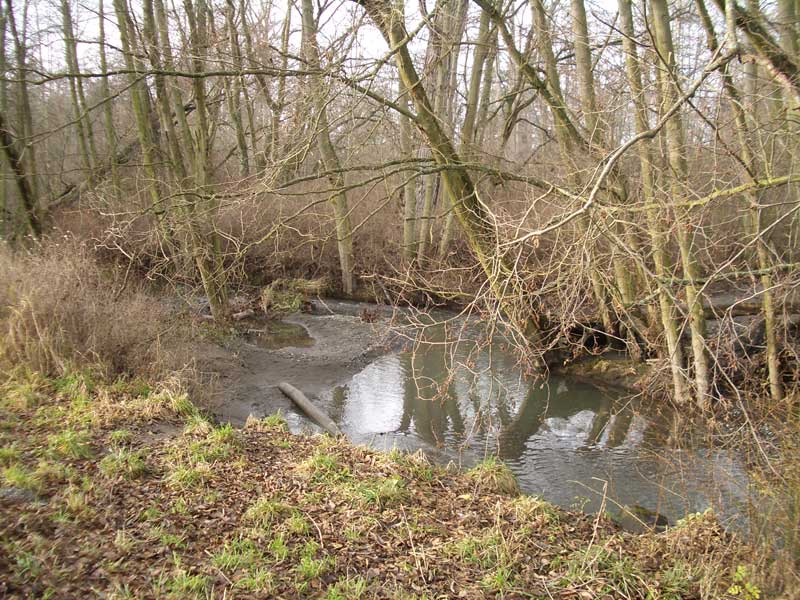
The river itself is fascinating. You can make your away along its rocky shores, or even wade in warmer weather, but watch out for rolling rocks and mosquitoes.

We wandered about a mile or so. The trail appears as an unimproved road on some maps, but it is closed to private vehicles. It gives some beautiful views of the farms in this section of Towne Road. The farms here are small scale and endangered

View Through The Hole

Jungle View at Rialto Beach

Also in the area...

  • Dungeness Valley Creamery - the trail runs behind this working dairy, so you can often see their Jersey cows; be sure to check out their farm store if you are in the area.
  • Nash Huber's Farm Stand - is actually across East Anderson Road, but it is worth a stop for fresh, local vegetables. Nash raises Berkshire pigs on the Delta Farm on the east side of Towne Road.
  • The Old Dungeness Schoolhouse - is the old schoolhouse from back when the area was a major farming community. It isn't generally open to the public, but it is fun to look at. For more on the old valley, check out the museum in Sequim.

Topographic Map of Rialto Beach

This trail map produced using the mapping software at the Clallam County website.

Nuts and Bolts

  • Cartography - see the map to the left for a sense of the area. The topography is flat, so there was no real point in using a topographic map. The dike trail is the yellow line that follows the river. Click for a close up.

Kaleberg Notes

  • This is a great walk for a peaceful day. If you've been climbing Storm King the day before, your body will appreciate the rest. This is also a great trail to punctuate a day exploring the farms in the area.
  • In the summer, there are often mosquitoes down by the river. They aren't a patch on their east coast relatives, but a bit of repellent would not be a bad idea.

Notes

The Kaleberg Home PageSend Feedback to KalebergHiking the North Olympic PeninsulaThe Kaleberg Hiking Book

© Copyright Kaleberg Symbionts 2006